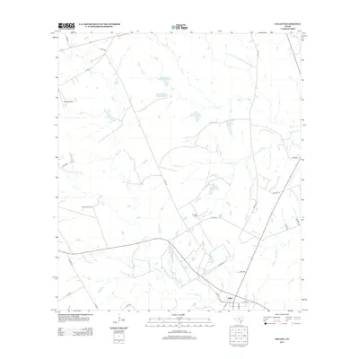
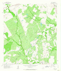
2013 Map of Gillett
USGS Topo · Published 2013About this map
Gillett sits at the southern edge of this Karnes County landscape, serving as a focal point for a rural network of county roads and creek drainages. The area is defined by the winding course of Ecleto Cr and Elm Cr, which feed into various small impoundments like Weinert Reservoir and Coates Estate Lake Number 1. This survey illustrates the ranching and energy infrastructure that characterizes the region, including the Manford Gas Field and the sprawling El Negro Ranch, which features its own namesake El Negro Ranch Lake. Transportation and logistics are represented by the small Bailey Airport in the northwest and a dense grid of local routes such as Prairie 2119 and Creek 283. The map documents a sparsely populated but active agricultural and industrial environment in South Texas.
Find a feature on this map
32 named features on this map. Tap any name to fly to it.
Don’t see what you’re looking for? This feature index may not catch every label — zoom into the map to look around manually.
Map Details
Editions of this 2013 Gillett Map
This is the sole edition of this map. No revisions or reprints were ever made.
Other maps of this area
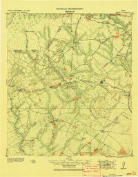
1920 · Smiley
USGS Topo · 1:125,000
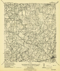
1942 · Dewville
USGS Topo · 1:62,500

1953 · Seguin
USGS Topo · 1:250,000
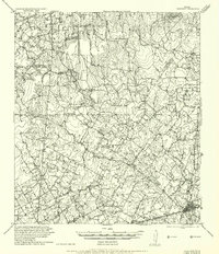
1956 · Dewville
USGS Topo · 1:62,500

1958 · Seguin
USGS Topo · 1:250,000
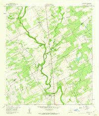
1960 · Kosciusko
USGS Topo · 1:24,000
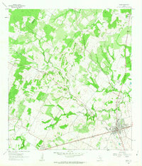
1961 · Nixon
USGS Topo · 1:24,000
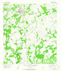
1961 · Stockdale
USGS Topo · 1:24,000
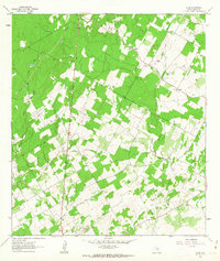
1961 · Alum
USGS Topo · 1:24,000
1961 · Gillett
USGS Topo · 1:24,000