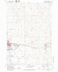
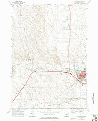
1971 Map of Gillette East
USGS Topo · Published 1980About this map
Gillette emerges as a growing energy and transport hub in the early 1970s, defined by the heavy infrastructure of the coal industry and the expanding reach of the Burlington Northern railroad. The eastern outskirts of the city show a transition from suburban development, including the Campbell County High Sch and Gillette Country Club, into the industrial landscape of the Wyodak Strip Mine and its associated Powerplant.
Find a feature on this map
42 named features on this map. Tap any name to fly to it.
Don’t see what you’re looking for? This feature index may not catch every label — zoom into the map to look around manually.
Map Details
Editions of this 1971 Gillette East Map
3 editions found
Other maps of this area

1954 · Gillette
USGS Topo · 1:250,000

1955 · Gillette
USGS Topo · 1:250,000

1958 · Gillette
USGS Topo · 1:250,000

1962 · Gillette
USGS Topo · 1:250,000

1971 · Coyote Draw
USGS Topo · 1:24,000

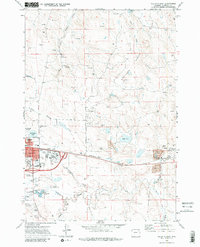
1971 · Gillette East
USGS Topo · 1:24,000

1971 · Green Hill
USGS Topo · 1:24,000
1971 · The Gap
USGS Topo · 1:24,000
1971 · Appel Butte
USGS Topo · 1:24,000
1971 · Gillette West
USGS Topo · 1:24,000