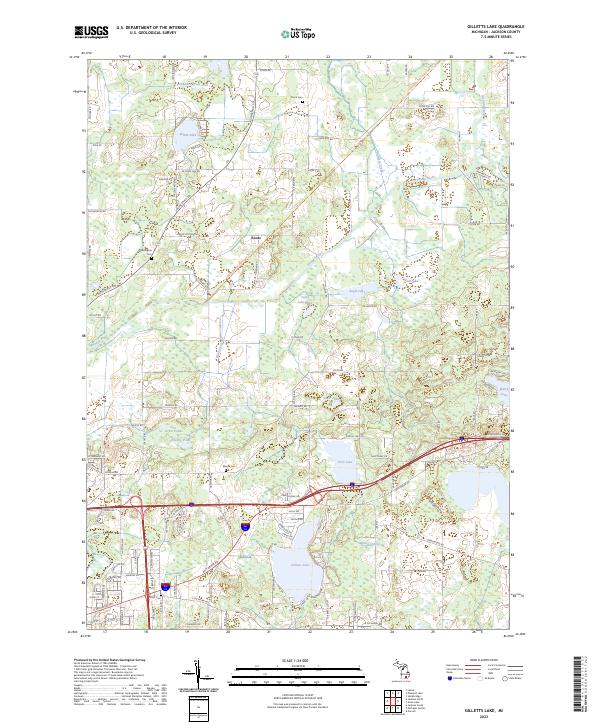
2023 Map of Gilletts Lake
USGS Topo · Published 2023About this map
Gilletts Lake and the surrounding township lands of Jackson County are defined by an intricate network of kettle lakes and wetlands linked by the Portage River and Wildcat Creek. The small settlement of Roots sits at a crossroads in the northern section of the map, illustrating the rural residential patterns that persist in this part of Michigan. Family and local history are anchored by several burial grounds scattered throughout the landscape, including Kinch Cem, Harrington Cem, and Maxon Cem, which serve as quiet markers of the area's early farmsteads. Modern recreation is represented by the Lakelands Trail State Park Trl in the northeast, following a former rail corridor. The map details the hydrology of the region through numerous named bodies of water such as Brill Lake, White Lake, and Mud Lake, alongside engineered drainage like the Twin Lakes Drain.
Find a feature on this map
110 named features on this map. Tap any name to fly to it.
Don’t see what you’re looking for? This feature index may not catch every label — zoom into the map to look around manually.
Map Details
Editions of this 2023 Gilletts Lake Map
This is the sole edition of this map. No revisions or reprints were ever made.
Historical Maps of Jackson Through Time
14 maps found

1919 Rives Junction
Jackson County, MI
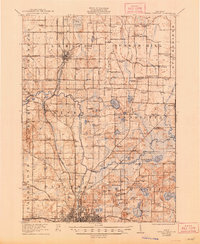
1921 Rives Junction
Jackson County, MI
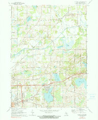
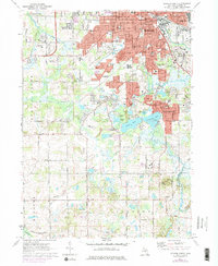
1970 Gilletts Lake
Jackson County, MI
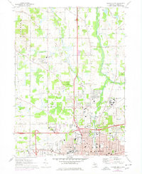
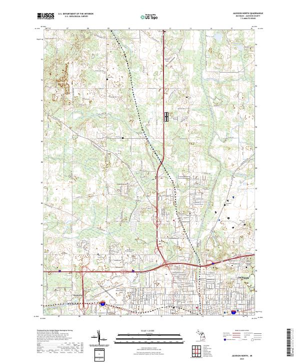
1970 Jackson North
Jackson County, MI
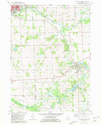
1971 Jackson South
Jackson County, MI
1980 Norvell
Jackson County, MI

1981 Northeast Albion
Jackson County, MI
1981 Southeast Albion
Jackson County, MI
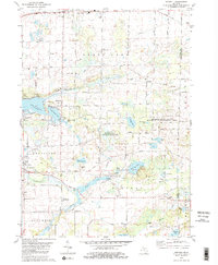
2023 Gilletts Lake
Jackson County, MI
2023 Jackson North
Jackson County, MI
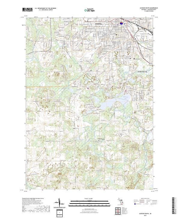
2023 Jackson South
Jackson County, MI
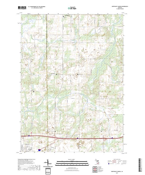
2023 Northeast Albion
Jackson County, MI
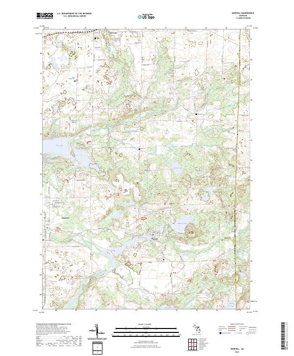
2023 Norvell
Jackson County, MI
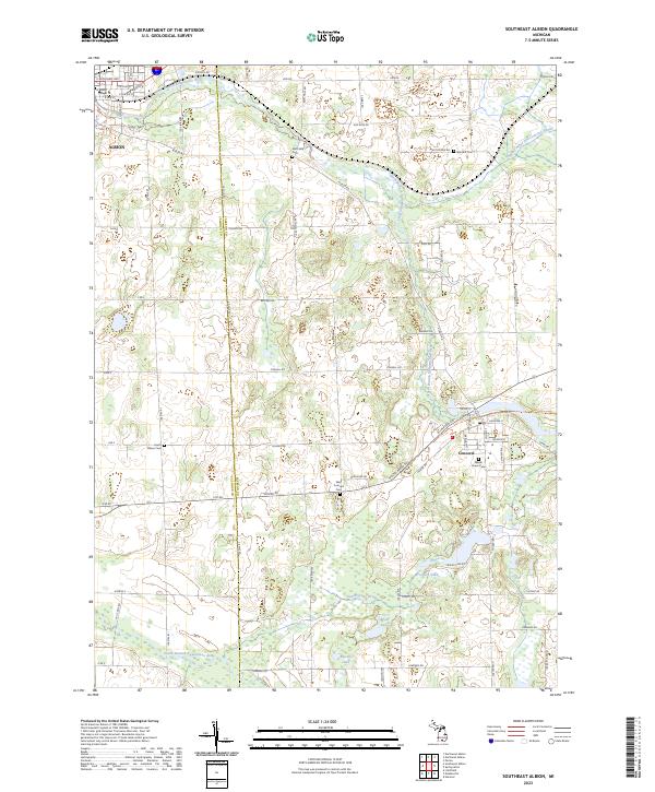
2023 Southeast Albion
Jackson County, MI
Featured Locations
- Blackman Charter Township, MI
- Waterloo Township, MI
- Henrietta Township, MI
- Jackson, MI
- Roots, Henrietta Township