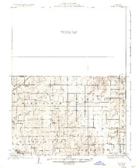
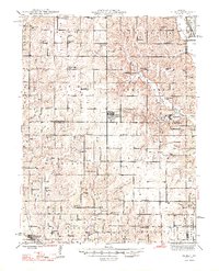
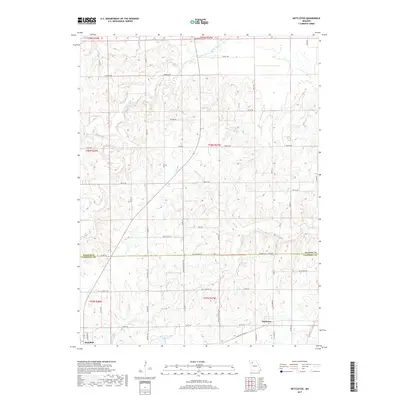
1925 Map of Gilman
USGS Topo · Published 1937About this map
The Quincy Omaha and Kansas City railroad cuts through the northwestern corner of this territory, passing the town of Jameson and the McCleary School. The landscape is a network of small townships including Washington and Lincoln, defined by the numerous rural schools and churches that served a widely dispersed farming community in the 1920s. Small drainage systems like Muddy Creek and Hickory Creek weave through the topography, which is notably punctuated by landmarks such as the Hickory Creek Church and Bancroft.
Find a feature on this map
55 named features on this map. Tap any name to fly to it.
Don’t see what you’re looking for? This feature index may not catch every label — zoom into the map to look around manually.
Map Details
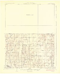
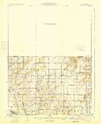
Editions of this 1925 Gilman Map
3 editions found
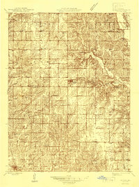
Historical Maps of Jameson Through Time
13 maps found
1925 Gilman
Daviess County, MO
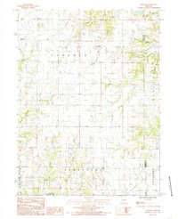
1946 Gilman
Daviess County, MO
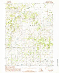
1948 Gilman
Daviess County, MO
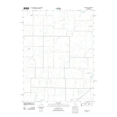
1984 Bancroft
Daviess County, MO
1984 Nettleton
Daviess County, MO
2012 Bancroft
Daviess County, MO
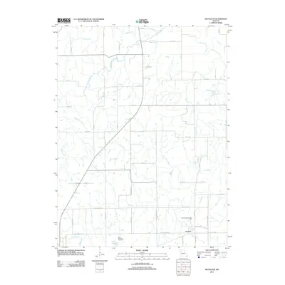
2012 Nettleton
Daviess County, MO
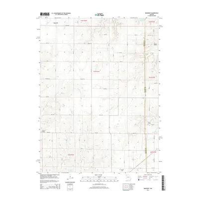
2015 Bancroft
Daviess County, MO
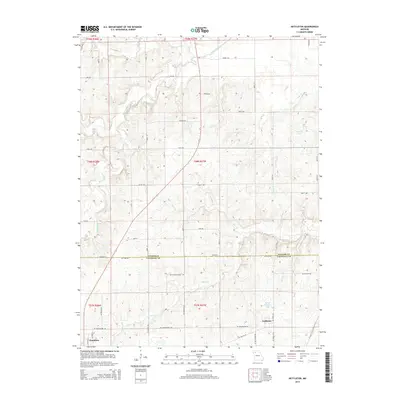
2015 Nettleton
Daviess County, MO
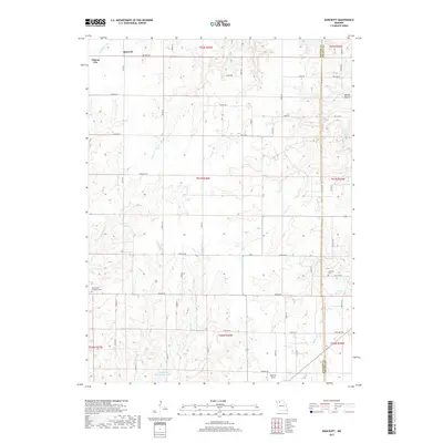
2017 Bancroft
Daviess County, MO
2017 Nettleton
Daviess County, MO
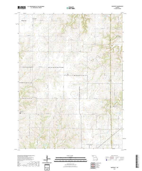
2021 Bancroft
Daviess County, MO
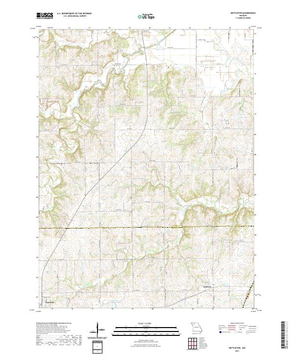
2021 Nettleton
Daviess County, MO