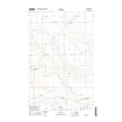
2017 Map of Gilman
USGS Topo · Published 2017About this map
Sun River meanders across the border of Teton and Lewis and Clark Counties, defining a landscape shaped by a sophisticated network of irrigation infrastructure. This 2017 survey shows the intricate water management systems of the Montana plains, where the Sun River Slope Canal and Floweree Canal cut through the terrain to support regional agriculture. The settlement of Gilman sits near the southwestern corner of the sheet, shadowed by the rising elevation of Gilman Hill.
Find a feature on this map
45 named features on this map. Tap any name to fly to it.
Don’t see what you’re looking for? This feature index may not catch every label — zoom into the map to look around manually.
Map Details
Editions of this 2017 Gilman Map
This is the sole edition of this map. No revisions or reprints were ever made.
Other maps of this area
1920 · Choteau
USGS Topo · 1:125,000
1943 · Hogan
USGS Topo · 1:125,000
1955 · Choteau
USGS Topo · 1:250,000
1957 · Choteau
USGS Topo · 1:250,000
1958 · Choteau
USGS Topo · 1:250,000
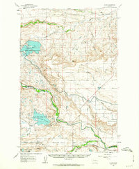
1960 · Gilman
USGS Topo · 1:62,500
1960 · Freezeout Lake
USGS Topo · 1:62,500
1962 · Choteau
USGS Topo · 1:250,000
1963 · Bowmans Corners NW
USGS Topo · 1:24,000
1963 · Augusta
USGS Topo · 1:24,000