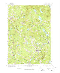
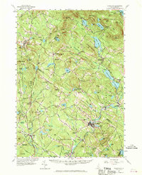
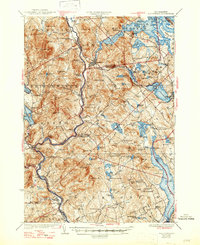
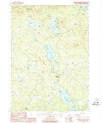
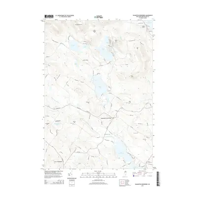
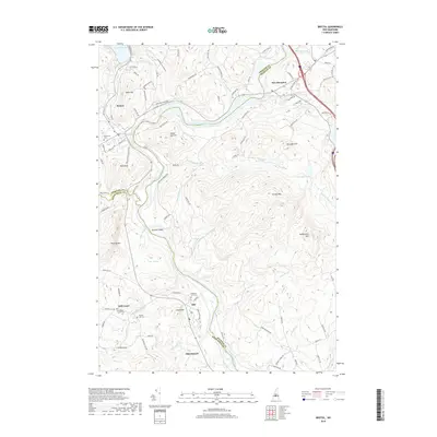
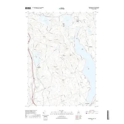
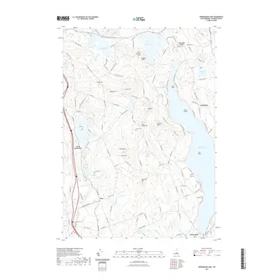
1957 Map of Gilmanton
USGS Topo · Published 1977About this map
Shaker Village and the surrounding Shaker State Forest anchor the western edge of this mid-century survey, illustrating the deep communal and agricultural roots of the Belknap County landscape. The region's early industrial character is visible in the network of crossroads and water-powered sites, including Gilmanton Ironworks, Websters Mill, and Allens Mills. These small manufacturing hubs developed around the numerous lakes and ponds like Crystal Lake and Suncook River tributaries, which provided essential power before the widespread adoption of modern utilities.
Find a feature on this map
186 named features on this map. Tap any name to fly to it.
Don’t see what you’re looking for? This feature index may not catch every label — zoom into the map to look around manually.
Map Details
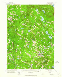
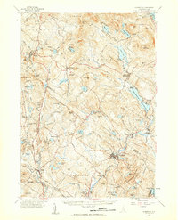
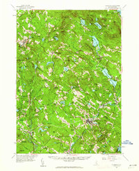
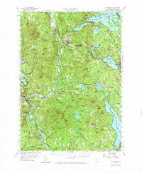
Editions of this 1957 Gilmanton Map
5 editions found
Historical Maps of Concord Through Time
58 maps found
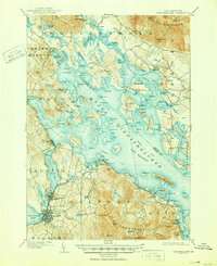
1909 Winnipesaukee
Belknap County, NH
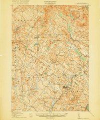
1919 Gilmanton
Belknap County, NH

1925 Holderness
Belknap County, NH
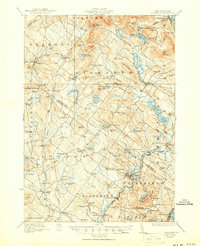
1927 Gilmanton
Belknap County, NH
1927 Holderness
Belknap County, NH
1956 Holderness
Belknap County, NH
1956 Winnipesaukee
Belknap County, NH
1957 Gilmanton
Belknap County, NH
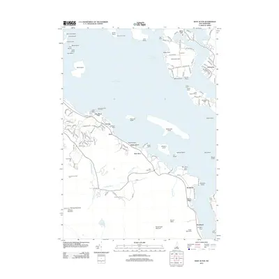
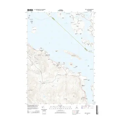
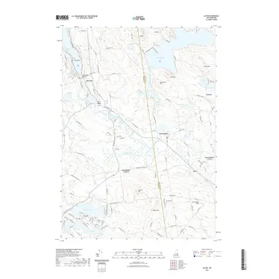
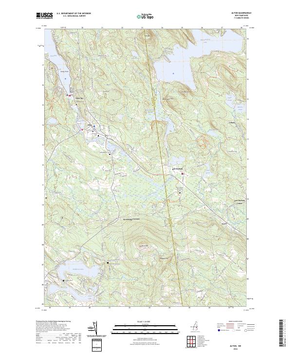
1987 Alton
Belknap County, NH

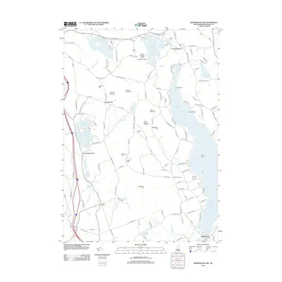
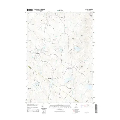
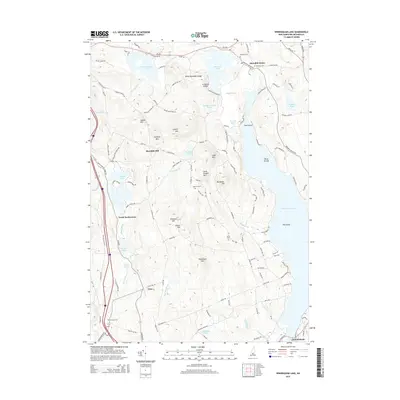
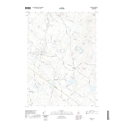
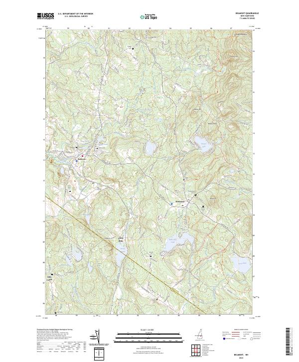
1987 Belmont
Belknap County, NH

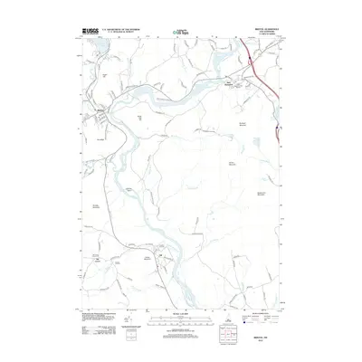
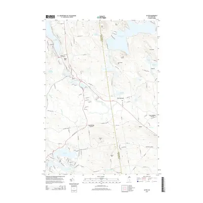
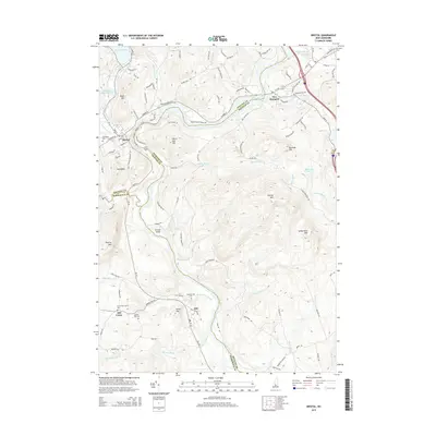
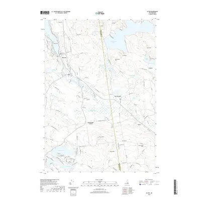
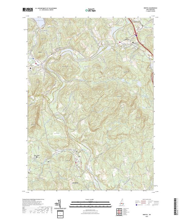
1987 Bristol
Belknap County, NH

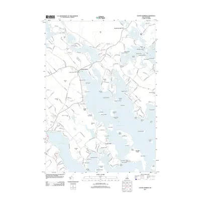
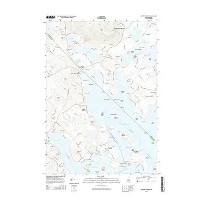
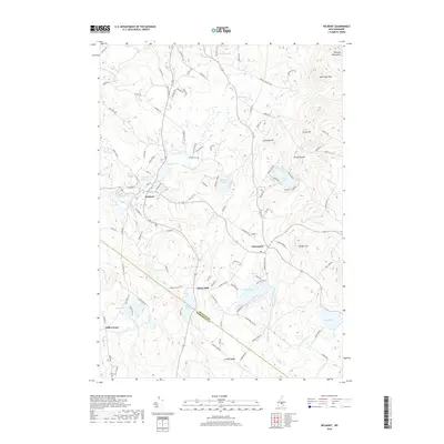
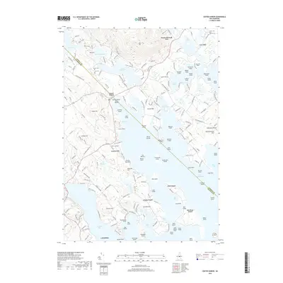
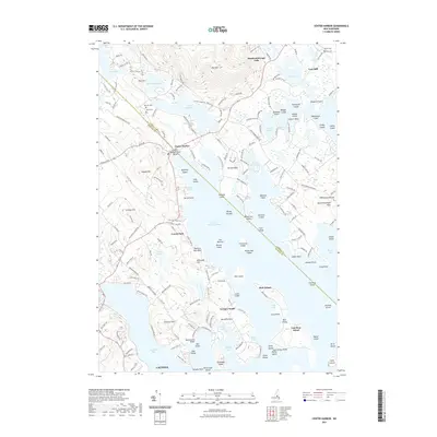
1987 Center Harbor
Belknap County, NH
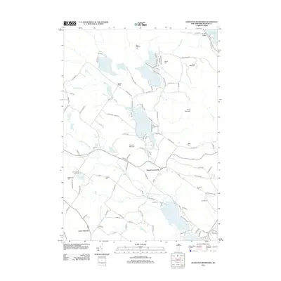
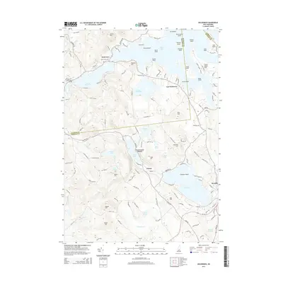
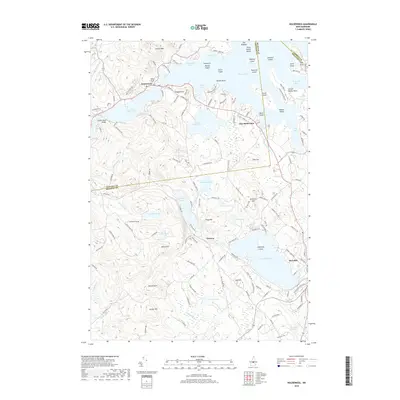
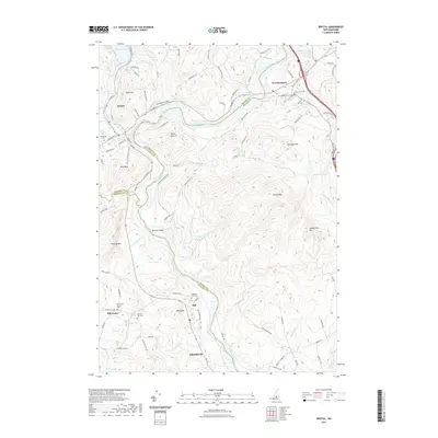
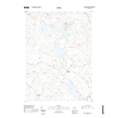
1987 Gilmanton Ironworks
Belknap County, NH

1987 Holderness
Belknap County, NH
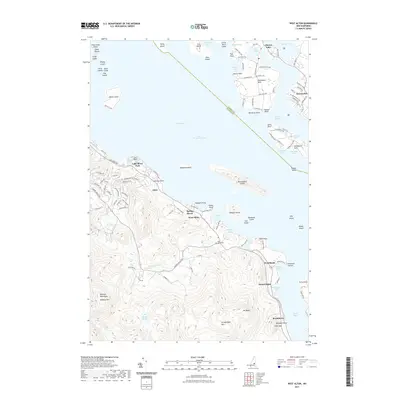
1987 West Alton
Belknap County, NH

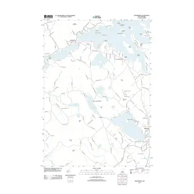
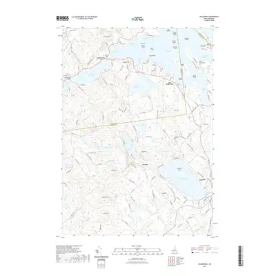
1987 Winnisquam Lake
Belknap County, NH

1998 Center Harbor
Belknap County, NH

2000 Bristol
Belknap County, NH
2012 Alton
Belknap County, NH
2012 Belmont
Belknap County, NH
2012 Bristol
Belknap County, NH
2012 Center Harbor
Belknap County, NH
2012 Gilmanton Ironworks
Belknap County, NH
2012 Holderness
Belknap County, NH
2012 West Alton
Belknap County, NH
2012 Winnisquam Lake
Belknap County, NH
2015 Alton
Belknap County, NH
2015 Belmont
Belknap County, NH
2015 Bristol
Belknap County, NH
2015 Center Harbor
Belknap County, NH
2015 Gilmanton Ironworks
Belknap County, NH
2015 Holderness
Belknap County, NH
2015 West Alton
Belknap County, NH
2015 Winnisquam Lake
Belknap County, NH
2018 Alton
Belknap County, NH
2018 Belmont
Belknap County, NH
2018 Bristol
Belknap County, NH
2018 Center Harbor
Belknap County, NH
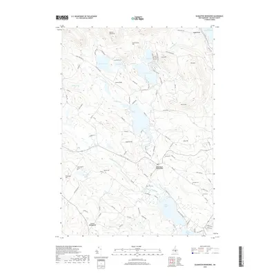
2018 Gilmanton Ironworks
Belknap County, NH
2018 Holderness
Belknap County, NH

2018 West Alton
Belknap County, NH
2018 Winnisquam Lake
Belknap County, NH
2021 Alton
Belknap County, NH
2021 Belmont
Belknap County, NH
2021 Bristol
Belknap County, NH
2021 Center Harbor
Belknap County, NH
2021 Gilmanton Ironworks
Belknap County, NH
2021 Holderness
Belknap County, NH
2021 West Alton
Belknap County, NH
2021 Winnisquam Lake
Belknap County, NH
2024 Alton
Belknap County, NH
2024 Belmont
Belknap County, NH
2024 Bristol
Belknap County, NH
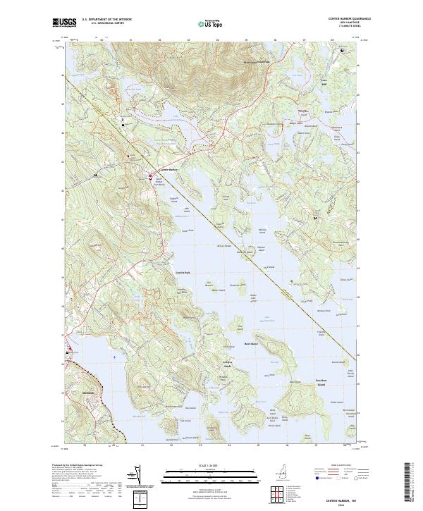
2024 Center Harbor
Belknap County, NH
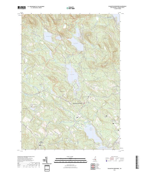
2024 Gilmanton Ironworks
Belknap County, NH
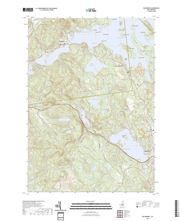
2024 Holderness
Belknap County, NH
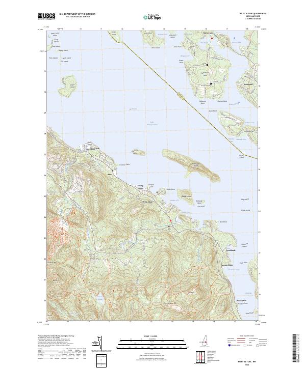
2024 West Alton
Belknap County, NH
2024 Winnisquam Lake
Belknap County, NH