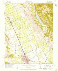
1955 Map of Gilroy
USGS Topo · Published 1956About this map
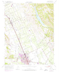
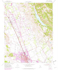
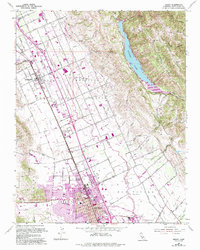
The agricultural landscape of the Santa Clara Valley unfolds across this mid-century survey, centered on the growing community of Gilroy. The town’s early infrastructure is clearly defined, featuring localized institutions like St Marys Sch, Brownell Sch, and Eliot Sch, while the Southern Pacific railroad remains the primary transportation artery connecting the rural settlements of San Martin, Rucker, and Lonoke. To the east, the terrain shifts abruptly toward the Santa Clara Range, where the reservoir at Coyote Lake and the elevations of Sheep Ridge contrast with the flat orchards and vineyards of the valley floor.
Find a feature on this map
63 named features on this map. Tap any name to fly to it.
Don’t see what you’re looking for? This feature index may not catch every label — zoom into the map to look around manually.
Map Details
Editions of this 1955 Gilroy Map
7 editions found
Other maps of this area

1915 · San Juan Bautista
USGS Topo · 1:48,000

1917 · Morgan Hill
USGS Topo · 1:62,500

1917 · San Juan Bautista
USGS Topo · 1:62,500

1919 · Hollister
USGS Topo · 1:48,000

1921 · Gilroy Hot Springs
USGS Topo · 1:62,500

1921 · Hollister
USGS Topo · 1:62,500

1923 · Hollister
USGS Topo · 1:62,500

1939 · Morgan Hill
USGS Topo · 1:62,500

1939 · Gilroy Hot Springs
USGS Topo · 1:62,500

1939 · San Juan Bautista
USGS Topo · 1:62,500