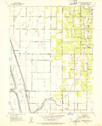
1952 Map of Gilsizer Slough
USGS Topo · Published 1953About this map
Gilsizer Slough and the Sutter By-Pass dominate this agricultural landscape in Sutter County, illustrating the complex water management systems of the early 1950s. The terrain is defined by a rigorous grid of section roads and drainage canals, including the Snake Slough and Blue Creek, which supported the region's intensive farming. Small rural hubs like Oswald and Tudor serve as anchors for the surrounding farmsteads, while the Sutter National Wildlife Refuge preserves a segment of the Sutter Basin floor.
Find a feature on this map
63 named features on this map. Tap any name to fly to it.
Don’t see what you’re looking for? This feature index may not catch every label — zoom into the map to look around manually.
Map Details
Editions of this 1952 Gilsizer Slough Map
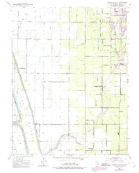
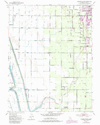
3 editions found
Other maps of this area

1888 · Marysville
USGS Topo · 1:125,000

1891 · Marysville
USGS Topo · 1:125,000

1894 · Marysville
USGS Topo · 1:125,000

1895 · Marysville
USGS Topo · 1:125,000

1907 · Dunnigan
USGS Topo · 1:62,500

1910 · Nicolaus
USGS Topo · 1:31,680

1910 · Marcuse
USGS Topo · 1:31,680

1911 · Sutter
USGS Topo · 1:31,680
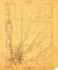
1911 · Yuba City
USGS Topo · 1:31,680

1911 · Gilsizer Slough
USGS Topo · 1:31,680