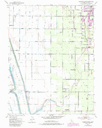
1952 Map of Gilsizer Slough
USGS Topo · Published 1985About this map
Gilsizer Slough meanders through the heart of the Sacramento Valley in this mid-century view of Sutter County agriculture. The landscape is a testament to hydraulic engineering, featuring the extensive Sutter By-Pass and the Tisdale By-Pass designed to manage seasonal flooding. Evidence of the region's evolving infrastructure is visible in the Live Oak Canal (Abandoned) and the Sacramento Northern rail line, which served the small communities and rural outposts like Oswald.
Find a feature on this map
46 named features on this map. Tap any name to fly to it.
Don’t see what you’re looking for? This feature index may not catch every label — zoom into the map to look around manually.
Map Details
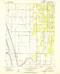
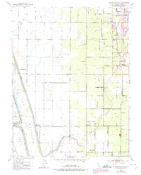
Editions of this 1952 Gilsizer Slough Map
3 editions found
Other maps of this area

1888 · Marysville
USGS Topo · 1:125,000

1891 · Marysville
USGS Topo · 1:125,000

1894 · Marysville
USGS Topo · 1:125,000

1895 · Marysville
USGS Topo · 1:125,000

1907 · Dunnigan
USGS Topo · 1:62,500

1910 · Nicolaus
USGS Topo · 1:31,680

1910 · Marcuse
USGS Topo · 1:31,680

1911 · Sutter
USGS Topo · 1:31,680
1911 · Yuba City
USGS Topo · 1:31,680

1911 · Gilsizer Slough
USGS Topo · 1:31,680