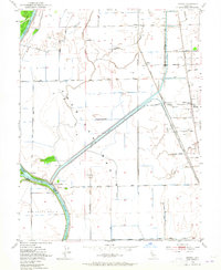
1952 Map of Verona
USGS Topo · Published 1965About this map
The Feather River and Sacramento River meet at the heart of this mid-century survey, a landscape defined by hydraulic engineering and rich alluvial soils. This region of the American Basin is crisscrossed by an extensive network of artificial waterways, including the Cross Canal and the Natomas East Side Canal, designed to manage the seasonal flooding of the Sutter By-Pass. The map documents the vital infrastructure of the era, from the Garden Highway following the river levees to the active rail lines of the Southern Pacific and Sacramento Northern. Local life centers on small landings and agricultural sidings such as Verona, Fremont Landing, and Catlett. Educational and community markers like Pleasant Grove Sch and Pleasant Grove Cemetery provide essential touchpoints for genealogists researching the families who worked the land within the Rio Jesus Maria land grant.
Find a feature on this map
43 named features on this map. Tap any name to fly to it.
Don’t see what you’re looking for? This feature index may not catch every label — zoom into the map to look around manually.
Map Details
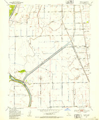
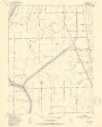
Editions of this 1952 Verona Map
3 editions found
Other maps of this area

1891 · Sacramento
USGS Topo · 1:125,000

1892 · Sacramento
USGS Topo · 1:125,000

1893 · Sacramento
USGS Topo · 1:125,000

1902 · Fairoaks
USGS Topo · 1:62,500

1907 · Davisville
USGS Topo · 1:62,500

1910 · Sheridan
USGS Topo · 1:31,680

1910 · Knights Landing
USGS Topo · 1:31,680

1910 · Vernon
USGS Topo · 1:31,680

1910 · Nicolaus
USGS Topo · 1:31,680

1910 · Pleasant Grove
USGS Topo · 1:31,680