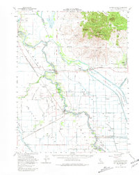
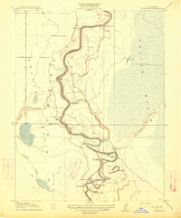
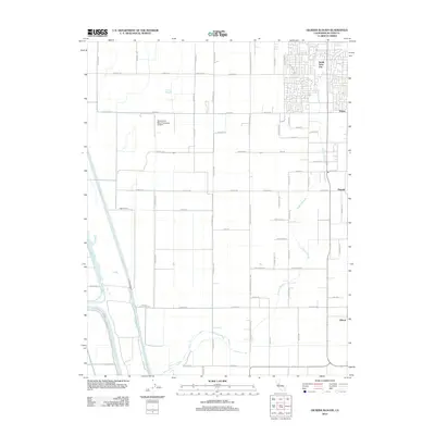
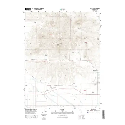
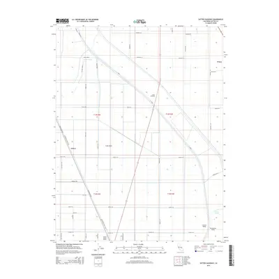
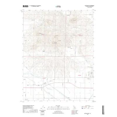
1954 Map of Sutter Buttes
USGS Topo · Published 1981About this map
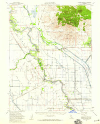
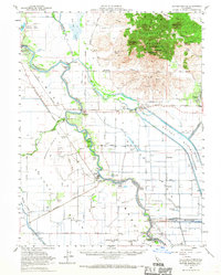
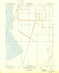
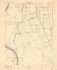
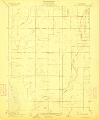
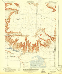
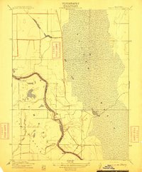
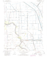
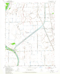
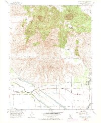
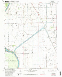
The dramatic volcanic silhouette of the Sutter Buttes rises abruptly from the floor of the Sacramento Valley, dominated by peaks like North Butte and South Butte. This mid-century survey illustrates a complex hydraulic landscape where the Sacramento River meanders past Meridian and Grimes amidst an intricate network of man-made diversions. The Sutter Bypass and Tisdale Bypass channel floodwaters through the lowlands, while the Sutter Nat Wildlife Refuge preserves the wetland character of the former Butte Sink. Rural life is anchored by family-named landmarks like Stohlman Cemetery and the Winship School, alongside industrial remnants such as the Southern Pacific railroad and the Eddys Ferry site. Settlement patterns follow the levees and high ground, revealing the era's dependence on river management and agricultural drainage in the shadow of the world's smallest mountain range.
Find a feature on this map
74 named features on this map. Tap any name to fly to it.
Don’t see what you’re looking for? This feature index may not catch every label — zoom into the map to look around manually.
Map Details
Editions of this 1954 Sutter Buttes Map
3 editions found
Historical Maps of Colusa Through Time
38 maps found
1910 Marcuse
Sutter County, CA
1910 Vernon
Sutter County, CA
1911 Gilsizer Slough
Sutter County, CA
1912 Marysville Buttes
Sutter County, CA
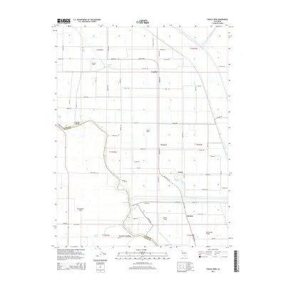
1912 Tisdale Weir
Sutter County, CA
1915 Kirkville
Sutter County, CA
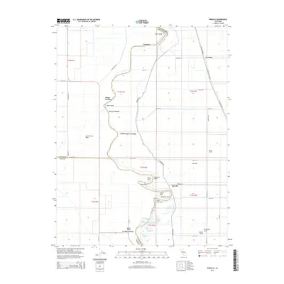
1952 Gilsizer Slough
Sutter County, CA
1952 Kirkville
Sutter County, CA
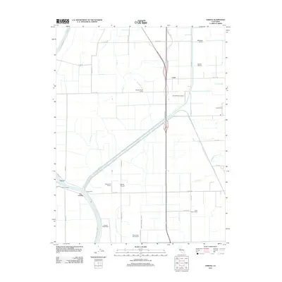
1952 Sutter Causeway
Sutter County, CA
1952 Tisdale Weir
Sutter County, CA
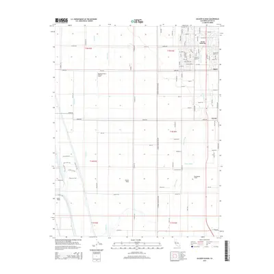
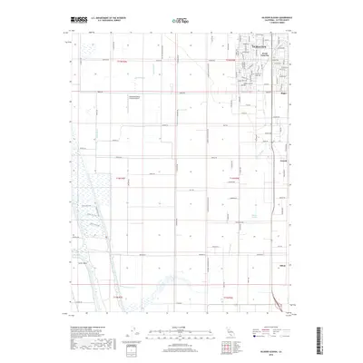
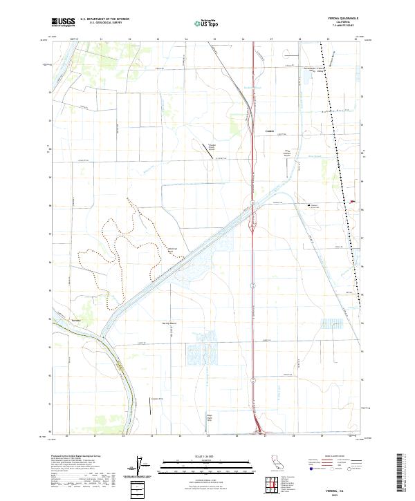
1952 Verona
Sutter County, CA
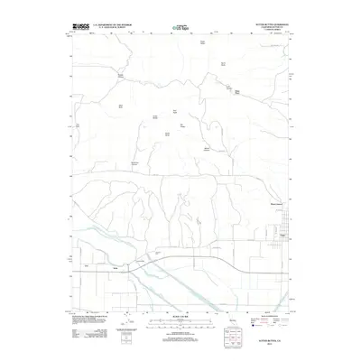
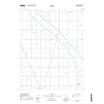
1954 Sutter Buttes
Sutter County, CA
1954 Sutter Buttes
Sutter County, CA
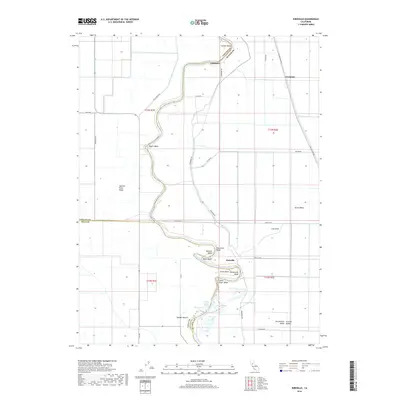
1967 Verona
Sutter County, CA
2012 Gilsizer Slough
Sutter County, CA

2012 Kirkville
Sutter County, CA
2012 Sutter Buttes
Sutter County, CA
2012 Sutter Causeway
Sutter County, CA
2012 Tisdale Weir
Sutter County, CA
2012 Verona
Sutter County, CA
2015 Gilsizer Slough
Sutter County, CA
2015 Kirkville
Sutter County, CA
2015 Sutter Buttes
Sutter County, CA
2015 Sutter Causeway
Sutter County, CA
2015 Tisdale Weir
Sutter County, CA

2015 Verona
Sutter County, CA
2018 Gilsizer Slough
Sutter County, CA
2018 Kirkville
Sutter County, CA
2018 Sutter Buttes
Sutter County, CA
2018 Sutter Causeway
Sutter County, CA
2018 Tisdale Weir
Sutter County, CA
2018 Verona
Sutter County, CA

2021 Sutter Buttes
Sutter County, CA
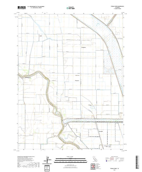
2021 Tisdale Weir
Sutter County, CA
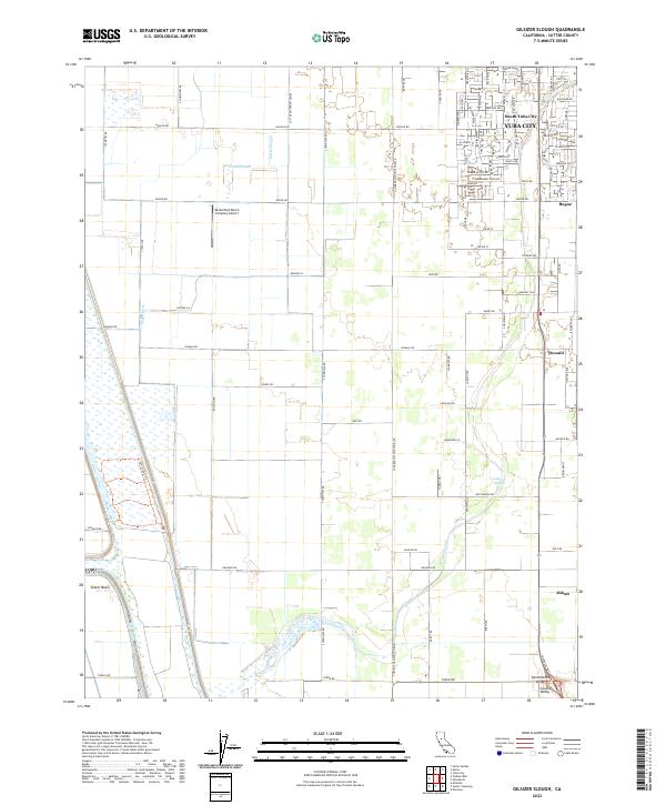
2022 Gilsizer Slough
Sutter County, CA
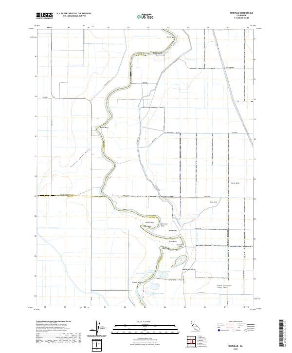
2022 Kirkville
Sutter County, CA
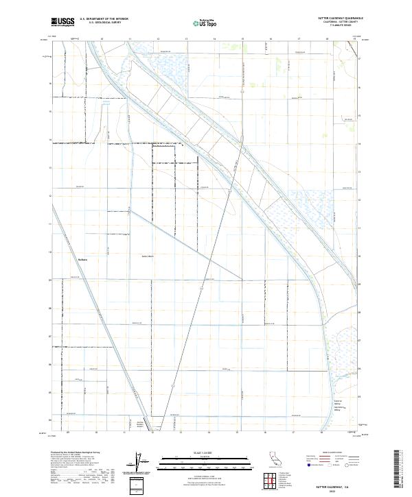
2022 Sutter Causeway
Sutter County, CA
2022 Verona
Sutter County, CA