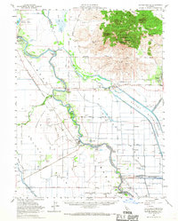
1954 Map of Sutter Buttes
USGS Topo · Published 1967About this map
The Sutter Buttes dominate the northeastern landscape, rising sharply above the surrounding alluvial plains of the Sacramento Valley. This volcanic formation is detailed with named peaks and canyons including North Butte, South Butte, and Moore Canyon. The complex hydrology of the valley floor is visible through the Sacramento River and its accompanying flood control structures like the Colusa Weir, Colusa Bypass, and the extensive Sutter Bypass.
Find a feature on this map
65 named features on this map. Tap any name to fly to it.
Don’t see what you’re looking for? This feature index may not catch every label — zoom into the map to look around manually.
Map Details
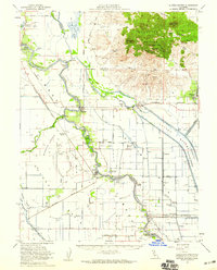
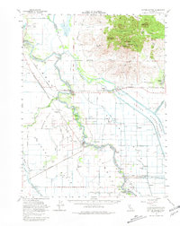
Editions of this 1954 Sutter Buttes Map
3 editions found
Other maps of this area

1888 · Marysville
USGS Topo · 1:125,000

1891 · Marysville
USGS Topo · 1:125,000

1894 · Marysville
USGS Topo · 1:125,000

1895 · Marysville
USGS Topo · 1:125,000

1905 · Harrington
USGS Topo · 1:24,000

1906 · Maxwell
USGS Topo · 1:62,500

1907 · Dunnigan
USGS Topo · 1:62,500

1907 · Colusa
USGS Topo · 1:62,500

1910 · Marcuse
USGS Topo · 1:31,680

1911 · Sutter
USGS Topo · 1:31,680