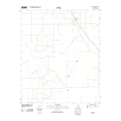
2010 Map of Girard
USGS Topo · Published 2010About this map
Girard serves as the primary focal point in this portion of Kent County, situated in an area where the High Plains transition into the rolling breaks of the Brazos River basin. The landscape is defined by the intricate drainage systems of Duck Creek, including its West Prong and Dry Duck Creek tributaries. These seasonal watercourses carve through the terrain, dictating the placement of the rural road network and isolated agricultural infrastructure. Functional landmarks like North Whatley Windmill, South Whatley Windmill, and North Floyd Windmill highlight the essential role of groundwater management for ranching and farming in this semi-arid region. The map reveals a strict section-line grid of county roads, such as Co RD 179 and Co RD 118, which are occasionally interrupted by the more winding paths of FM 1228 and other state-maintained farm-to-market routes.
Find a feature on this map
26 named features on this map. Tap any name to fly to it.
Don’t see what you’re looking for? This feature index may not catch every label — zoom into the map to look around manually.
Map Details
Editions of this 2010 Girard Map
This is the sole edition of this map. No revisions or reprints were ever made.
Other maps of this area

1954 · Lubbock
USGS Topo · 1:250,000

1958 · Pursley House
USGS Topo · 1:24,000

1958 · Jayton
USGS Topo · 1:24,000

1959 · Gilpin
USGS Topo · 1:24,000

1959 · Girard
USGS Topo · 1:24,000

1967 · Spur
USGS Topo · 1:24,000

1968 · White Camp
USGS Topo · 1:24,000

1969 · Clairemont East
USGS Topo · 1:24,000

1969 · Clairemont West
USGS Topo · 1:24,000

1969 · Jayton South
USGS Topo · 1:24,000