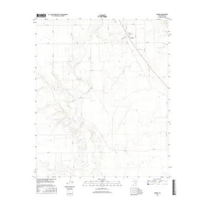
2016 Map of Girard
USGS Topo · Published 2016About this map
Girard serves as the primary focal point of this Kent County landscape, positioned along a secondary highway corridor. The settlement is anchored by a Po and a grid of local streets including Washington Ave, while the surrounding geography is defined by a complex drainage system. The intricate winding paths of Duck Cr, the W Prong Duck Cr, and Dry Duck Cr carve through the terrain, illustrating the hydrologic patterns of the West Texas plains. A network of rural farm roads like FM 1228 and FM 643 connects the town to outlying ranch land and agricultural plots. The map detail reflects a modern rural infrastructure where named county roads like Co RD 179 and Co RD 116 provide the primary access to the breaks and creek beds of the upper Brazos River watershed.
Find a feature on this map
31 named features on this map. Tap any name to fly to it.
Don’t see what you’re looking for? This feature index may not catch every label — zoom into the map to look around manually.
Map Details
Editions of this 2016 Girard Map
This is the sole edition of this map. No revisions or reprints were ever made.
Other maps of this area

1954 · Lubbock
USGS Topo · 1:250,000
1958 · Pursley House
USGS Topo · 1:24,000
1958 · Jayton
USGS Topo · 1:24,000
1959 · Gilpin
USGS Topo · 1:24,000
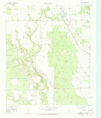
1959 · Girard
USGS Topo · 1:24,000
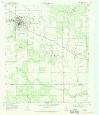
1967 · Spur
USGS Topo · 1:24,000
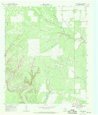
1968 · White Camp
USGS Topo · 1:24,000
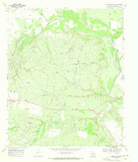
1969 · Clairemont East
USGS Topo · 1:24,000
1969 · Clairemont West
USGS Topo · 1:24,000
1969 · Jayton South
USGS Topo · 1:24,000