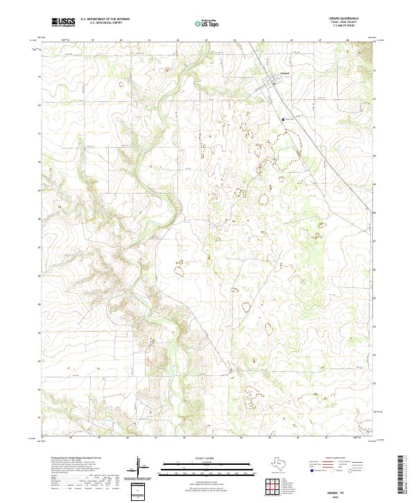
2022 Map of Girard
USGS Topo · Published 2022About this map
Girard serves as the primary settlement hub for this portion of Kent County, centered near the intersection of several county roads and Washington Ave. The town’s history is anchored by the Girard Cem located just to the southeast. The surrounding West Texas landscape is defined by the drainage network of Duck Cr, which meanders through the central and southern reaches of the quadrangle. This hydrography includes significant tributaries such as W Prong Duck Cr and Dry Duck Cr, which shape the local relief. A dense network of farm-to-market and county roads, including FM 1228 and FM 643, provides a detailed view of the rural parcel connectivity and transport patterns in this agricultural region.
Find a feature on this map
30 named features on this map. Tap any name to fly to it.
Don’t see what you’re looking for? This feature index may not catch every label — zoom into the map to look around manually.
Map Details
Editions of this 2022 Girard Map
This is the sole edition of this map. No revisions or reprints were ever made.
Other maps of this area

1954 · Lubbock
USGS Topo · 1:250,000

1958 · Pursley House
USGS Topo · 1:24,000

1958 · Jayton
USGS Topo · 1:24,000

1959 · Gilpin
USGS Topo · 1:24,000

1959 · Girard
USGS Topo · 1:24,000

1967 · Spur
USGS Topo · 1:24,000

1968 · White Camp
USGS Topo · 1:24,000

1969 · Clairemont East
USGS Topo · 1:24,000

1969 · Clairemont West
USGS Topo · 1:24,000

1969 · Jayton South
USGS Topo · 1:24,000