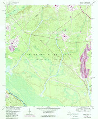
1964 Map of Girard NW
USGS Topo · Published 1989About this map
The Savannah River Plant dominates this mid-1960s topography, showing a landscape defined by industrial development and water management along the border of Georgia and South Carolina. The Savannah River winds through the southwestern corner near Blue Bluff and Stave Island, marking the state line between Burke County and Barnwell County. Major hydrological features like Upper Three Runs, Fourmile Branch, and Pen Branch drain the wooded terrain, while the man-made L Lake appears in the eastern section.
Find a feature on this map
20 named features on this map. Tap any name to fly to it.
Don’t see what you’re looking for? This feature index may not catch every label — zoom into the map to look around manually.
Map Details
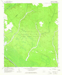
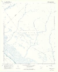
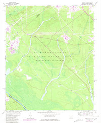
Editions of this 1964 Girard NW Map
4 editions found
Other maps of this area

1920 · Ellenton
USGS Topo · 1:48,000

1920 · Greens Cut
USGS Topo · 1:62,500

1920 · Talatha
USGS Topo · 1:48,000

1921 · Augusta
USGS Topo · 1:62,500

1921 · Talatha
USGS Topo · 1:62,500

1921 · Ellenton
USGS Topo · 1:62,500

1943 · Greens Cut
USGS Topo · 1:62,500

1943 · Augusta East
USGS Topo · 1:125,000

1943 · Talatha
USGS Topo · 1:62,500

1943 · Augusta
USGS Topo · 1:62,500