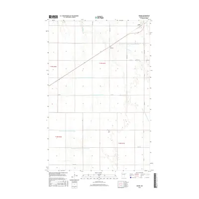
2016 Map of Girard
USGS Topo · Published 2016About this map
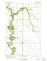
Agricultural lands in Polk County are defined by a complex network of man-made waterways and traditional family landmarks. The rural landscape north of Crookston is anchored by the small settlements of Wilds and Girard, which sit along the primary transit corridor. A heavy reliance on managed drainage is evident through the extensive numbering system of channels, such as County Ditch Number One Hundred Fortythree and County Ditch Number Ninetyfour, which crisscross the low-lying terrain to support the region's farming economy. For genealogists and local historians, the map preserves the locations of vital community anchors like the Andover Cem and Hanna Cem, tucked away on the section lines. The presence of Burnham Cr provides a natural break in the otherwise strictly gridded section lines of the Public Land Survey System.
Find a feature on this map
24 named features on this map. Tap any name to fly to it.
Don’t see what you’re looking for? This feature index may not catch every label — zoom into the map to look around manually.
Map Details
Editions of this 2016 Girard Map
This is the sole edition of this map. No revisions or reprints were ever made.
Other maps of this area
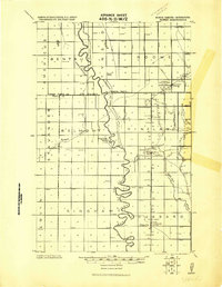
1919 · Eldred
USGS Topo · 1:62,500
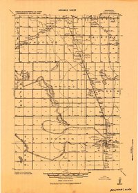
1919 · Beltrami
USGS Topo · 1:62,500

1952 · Grand Forks
USGS Topo · 1:250,000
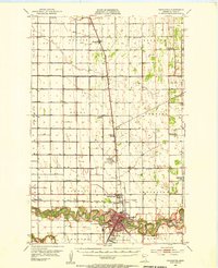
1953 · Crookston
USGS Topo · 1:62,500

1956 · Grand Forks
USGS Topo · 1:250,000
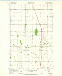
1964 · Beltrami
USGS Topo · 1:24,000
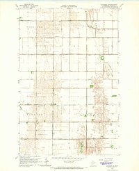
1964 · Beltrami SW
USGS Topo · 1:24,000
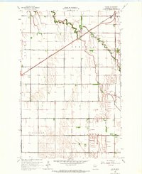
1964 · Girard
USGS Topo · 1:24,000
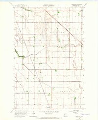
1964 · Greenview
USGS Topo · 1:24,000
1964 · Climax
USGS Topo · 1:24,000