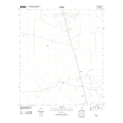
2010 Map of Gist
USGS Topo · Published 2010About this map
High Prairie and Myrtle Prairie characterize the open, low-lying landscape of Jasper County at the start of the twenty-first century. This coastal plain environment is defined by a slow-moving drainage network, including the meandering course of Gum Slough and the headwaters of Cow Bayou. The settlement at Gist serves as a small rural crossroads, connected to Robertson by a series of country roads and state routes. The map illustrates a transition from the marshy edges of Hollis Marsh and Cypress Creek in the northeast toward more established ranching or agricultural tracts. For those tracing local history, the map provides a clear record of the rural road system, including Gist Rd and FM 2246, which link these isolated prairie communities to the broader Texas landscape.
Find a feature on this map
21 named features on this map. Tap any name to fly to it.
Don’t see what you’re looking for? This feature index may not catch every label — zoom into the map to look around manually.
Map Details
Editions of this 2010 Gist Map
This is the sole edition of this map. No revisions or reprints were ever made.
Other maps of this area

1926 · Lakeview
USGS Topo · 1:24,000

1926 · Texla
USGS Topo · 1:24,000

1926 · Mauriceville
USGS Topo · 1:24,000

1932 · Beaumont
USGS Topo · 1:62,500

1943 · Mauriceville
USGS Topo · 1:24,000

1943 · Texla
USGS Topo · 1:24,000

1952 · Lake Charles
USGS Topo · 1:250,000

1954 · Lake Charles
USGS Topo · 1:250,000

1954 · Beaumont
USGS Topo · 1:250,000

1955 · Silsbee
USGS Topo · 1:62,500