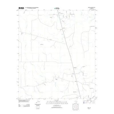
2012 Map of Gist
USGS Topo · Published 2012About this map
High Prairie and Myrtle Prairie characterize the open, low-lying landscape of Jasper County as documented in the early twenty-first century. The map centered on Gist reveals a region defined by complex drainage systems, where the meandering course of Gum Slough and Dognash Gully feed toward Cow Bayou in the south. The settlement of Robertson sits at a junction of local roads, reflecting the quiet, rural character of the area. Infrastructure such as Ebner Rice Field Dr indicates the agricultural history of the land, while the network of county routes, including Gist RD and Dempsey Turner Rd, connects scattered homesteads across the prairie. This survey captures a moment of steady continuity in East Texas before further modern development altered these traditional drainage and ranching patterns.
Find a feature on this map
35 named features on this map. Tap any name to fly to it.
Don’t see what you’re looking for? This feature index may not catch every label — zoom into the map to look around manually.
Map Details
Editions of this 2012 Gist Map
This is the sole edition of this map. No revisions or reprints were ever made.
Other maps of this area
1926 · Lakeview
USGS Topo · 1:24,000
1926 · Texla
USGS Topo · 1:24,000
1926 · Mauriceville
USGS Topo · 1:24,000
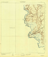
1932 · Beaumont
USGS Topo · 1:62,500
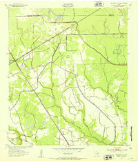
1943 · Mauriceville
USGS Topo · 1:24,000
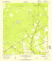
1943 · Texla
USGS Topo · 1:24,000
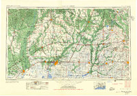
1952 · Lake Charles
USGS Topo · 1:250,000
1954 · Lake Charles
USGS Topo · 1:250,000

1954 · Beaumont
USGS Topo · 1:250,000
1955 · Silsbee
USGS Topo · 1:62,500