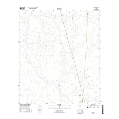
2016 Map of Gist
USGS Topo · Published 2016About this map
The low-lying wetlands and grassy expanses of the Southeast Texas coastal plain define this landscape along the Jasper and Newton county line. Large open reaches of High Prairie and Myrtle Prairie are segmented by an intricate network of sluggish watercourses, including the winding Gum Slough and the eastern stretches of Cypress Cr. The terrain is characterized by subtle elevation changes that give rise to features like White Bay and the marshy grounds of Hollis Marsh near the northern boundary.
Find a feature on this map
37 named features on this map. Tap any name to fly to it.
Don’t see what you’re looking for? This feature index may not catch every label — zoom into the map to look around manually.
Map Details
Editions of this 2016 Gist Map
This is the sole edition of this map. No revisions or reprints were ever made.
Other maps of this area

1926 · Lakeview
USGS Topo · 1:24,000

1926 · Texla
USGS Topo · 1:24,000

1926 · Mauriceville
USGS Topo · 1:24,000

1932 · Beaumont
USGS Topo · 1:62,500

1943 · Mauriceville
USGS Topo · 1:24,000

1943 · Texla
USGS Topo · 1:24,000

1952 · Lake Charles
USGS Topo · 1:250,000

1954 · Lake Charles
USGS Topo · 1:250,000

1954 · Beaumont
USGS Topo · 1:250,000

1955 · Silsbee
USGS Topo · 1:62,500