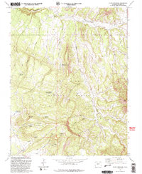
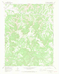
1993 Map of Glade Mountain
USGS Topo · Published 1993About this map
San Juan National Forest defines this high-country landscape in Dolores County, where a complex network of draws and creeks feeds into larger drainages. The topography is dominated by the massive profile of Glade Mountain and the prominent Thomas Mtn, with the terrain falling away into The Glade and Cash Gulch. This 1993 edition, based on earlier aerial photography and a 1990 field check, reveals a backcountry managed for water and lookout capabilities. Numerous small water sources, such as Bradfield Spring and Manaugh Spring, are scattered across the slopes, while a series of artificial catchments including McKinney Reservoir and Disappointment Reservoir No 1 indicate the importance of water management in this arid mountain environment. A Benchmark Lookout Glade serves as a critical survey point, while the presence of a Gravel Pit and numerous Pack trails suggests the localized extraction and transit activities within the forest.
Find a feature on this map
29 named features on this map. Tap any name to fly to it.
Don’t see what you’re looking for? This feature index may not catch every label — zoom into the map to look around manually.
Map Details
Editions of this 1993 Glade Mountain Map
2 editions found
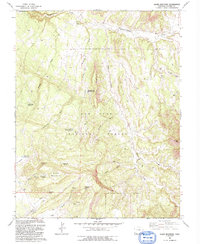
Other maps of this area

1956 · Cortez
USGS Topo · 1:250,000

1958 · Cortez
USGS Topo · 1:250,000

1959 · Cortez
USGS Topo · 1:250,000

1962 · Cortez
USGS Topo · 1:250,000
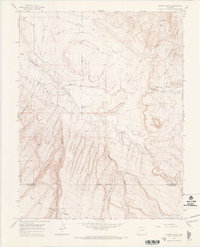
1964 · Dawson Draw
USGS Topo · 1:24,000

1964 · Glade Mountain
USGS Topo · 1:24,000
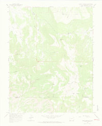
1964 · North Mountain
USGS Topo · 1:24,000

1964 · Mc Kenna Peak
USGS Topo · 1:24,000

1964 · The Glade
USGS Topo · 1:24,000
1964 · South Mountain
USGS Topo · 1:24,000