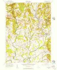
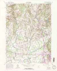
1954 Map of Gladstone
USGS Topo · Published 1956About this map
Hacklebarney State Park anchors the northwestern corner of this 1954 revision, where the Rinehart Brook carves through the terrain of Chester. This landscape is defined by its educational and religious institutions, including the St Johns Academy and St Bernards Sch, alongside several historic settlements such as Gladstone, Peapack, and Oldwick. The transportation network of the mid-1950s is well-represented by the Delaware Lackawanna and Western railroad and the Somerset Airport, reflecting the post-war transition of this region into a more connected suburban and institutional corridor.
Find a feature on this map
74 named features on this map. Tap any name to fly to it.
Don’t see what you’re looking for? This feature index may not catch every label — zoom into the map to look around manually.
Map Details
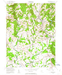
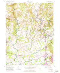
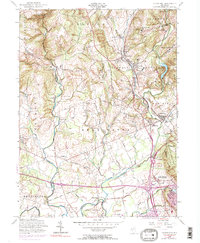
Editions of this 1954 Gladstone Map
5 editions found
Other maps of this area

1888 · Hackettstown
USGS Topo · 1:62,500

1888 · Lake Hopatcong
USGS Topo · 1:62,500

1890 · High Bridge
USGS Topo · 1:62,500

1891 · Somerville
USGS Topo · 1:62,500

1893 · Somerville
USGS Topo · 1:62,500

1894 · Hackettstown
USGS Topo · 1:62,500

1894 · Lake Hopatcong
USGS Topo · 1:62,500

1898 · Lake Hopatcong
USGS Topo · 1:62,500

1898 · Hackettstown
USGS Topo · 1:62,500

1898 · High Bridge
USGS Topo · 1:62,500
Featured Places
- Bridgewater Township, NJ
- Readington Township, NJ
- Bedminster Township, NJ
- Bernardsville, NJ
- Far Hills, NJ