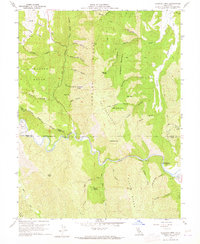
1958 Map of Glascock Mtn
USGS Topo · Published 1965About this map
Cache Creek carves a deep path through the rugged Northern California interior, serving as the primary geographical divider between the high ridges of the Swanson Range and Blue Ridge. This late 1950s survey captures a landscape of extreme relief, defined by the towering Cortina Ridge and the prominent Glascock Mtn. The terrain is marked by dozens of seasonal drainages such as Brophy Canyon and South Jackson Canyon, which reveal the complex hydrology of the eastern Coast Ranges.
Find a feature on this map
51 named features on this map. Tap any name to fly to it.
Don’t see what you’re looking for? This feature index may not catch every label — zoom into the map to look around manually.
Map Details
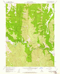
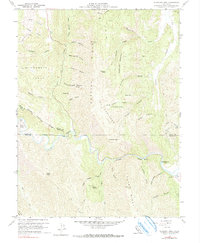
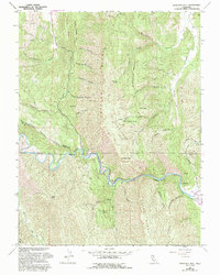
Editions of this 1958 Glascock Mtn Map
4 editions found
Other maps of this area

1907 · Colusa
USGS Topo · 1:62,500

1918 · Spring Valley
USGS Topo · 1:31,680

1920 · Venado
USGS Topo · 1:62,500

1942 · Colusa
USGS Topo · 1:62,500

1943 · Morgan Valley
USGS Topo · 1:62,500

1944 · Wilbur Springs
USGS Topo · 1:62,500

1944 · Morgan Valley
USGS Topo · 1:62,500

1945 · Rumsey
USGS Topo · 1:62,500

1947 · Santa Rosa
USGS Topo · 1:250,000

1949 · Santa Rosa
USGS Topo · 1:250,000