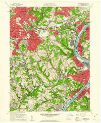
1960 Map of Glassport
USGS Topo · Published 1961About this map
The Monongahela River corridor south of Pittsburgh shows a landscape defined by heavy industrial footprints and postwar suburban expansion at the start of the 1960s. High-density residential zones in Brentwood and Whitehall transition into the industrial valley of Clairton and Glassport, where Slag Pits and a large Slag Dump near the Allegheny County Airport testify to the region's steel-making legacy. The interior of Jefferson township remains more varied, with active quarries and strip mines located near landmarks like the U S Bureau of Mines Experimental Sta. Researchers can trace the complex rail network of the Pennsylvania Railroad and the Baltimore and Ohio Railroad as they navigate the sharp topography between Peters Creek and Lick Run. Family history is anchored by numerous local landmarks including Cochrans Mill, Zion Cem, and James Chapel.
Find a feature on this map
93 named features on this map. Tap any name to fly to it.
Don’t see what you’re looking for? This feature index may not catch every label — zoom into the map to look around manually.
Map Details
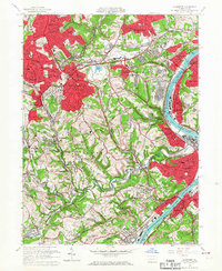
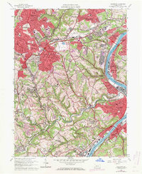
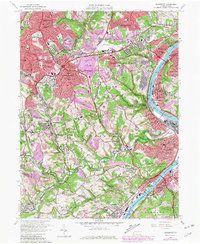
Editions of this 1960 Glassport Map
4 editions found
Other maps of this area

1901 · Amity
USGS Topo · 1:62,500

1902 · Brownsville
USGS Topo · 1:62,500

1904 · Amity
USGS Topo · 1:62,500

1904 · Mc Keesport
USGS Topo · 1:62,500

1904 · Carnegie
USGS Topo · 1:62,500

1906 · Brownsville
USGS Topo · 1:62,500

1906 · Carnegie
USGS Topo · 1:62,500

1907 · Pittsburg
USGS Topo · 1:62,500

1908 · Carnegie
USGS Topo · 1:62,500

1931 · Brownsville
USGS Topo · 1:62,500