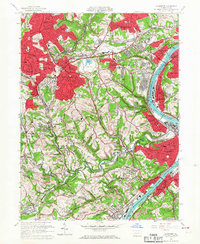
1960 Map of Glassport
USGS Topo · Published 1967About this map
The Monongahela River carves a deep industrial corridor through this 1960s landscape, bordering the heavy manufacturing centers of Glassport, Clairton, and McKeesport. The map illustrates the region's post-war transition, where traditional river-and-rail infrastructure meets expanding residential suburbs like Pleasant Hills and Brentwood. Significant land-use features include the Slag Dump and Settling Basin near West Mifflin, highlighting the massive scale of the local steel industry's waste management during its peak years.
Find a feature on this map
76 named features on this map. Tap any name to fly to it.
Don’t see what you’re looking for? This feature index may not catch every label — zoom into the map to look around manually.
Map Details
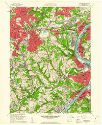
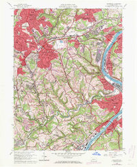
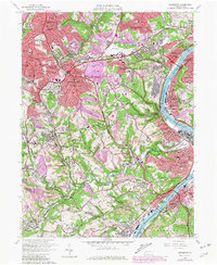
Editions of this 1960 Glassport Map
4 editions found
Other maps of this area

1901 · Amity
USGS Topo · 1:62,500

1902 · Brownsville
USGS Topo · 1:62,500

1904 · Amity
USGS Topo · 1:62,500

1904 · Mc Keesport
USGS Topo · 1:62,500

1904 · Carnegie
USGS Topo · 1:62,500

1906 · Brownsville
USGS Topo · 1:62,500

1906 · Carnegie
USGS Topo · 1:62,500

1907 · Pittsburg
USGS Topo · 1:62,500

1908 · Carnegie
USGS Topo · 1:62,500

1931 · Brownsville
USGS Topo · 1:62,500