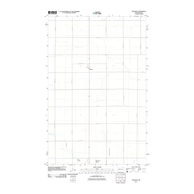
2011 Map of Glasston
USGS Topo · Published 2011About this map
Glasston sits along the north-south arterial of U.S. Route 81, serving as a focal point in this agricultural landscape of Pembina County. The map reveals a strictly gridded rural road network defined by numbered avenues and streets, such as 85th St NE and 152nd Ave NE, which organize the vast prairie fields. Water management is a critical feature of this terrain, evidenced by the winding path of Willow Creek and the engineered precision of County Ditch Number 67D. Near the southern edge of the survey, the Saint Thomas Cemetery and the Saint Thomas Municipal Airport provide significant landmarks for local history and regional transportation research, reflecting the enduring infrastructure of the Saint Thomas vicinity during the early 21st century.
Find a feature on this map
22 named features on this map. Tap any name to fly to it.
Don’t see what you’re looking for? This feature index may not catch every label — zoom into the map to look around manually.
Map Details
Editions of this 2011 Glasston Map
This is the sole edition of this map. No revisions or reprints were ever made.
Other maps of this area

1939 · Glasston
USGS Topo · 1:62,500

1939 · Cavalier
USGS Topo · 1:62,500

1941 · Glasston
USGS Topo · 1:62,500

1941 · Cavalier
USGS Topo · 1:62,500

1941 · Bathgate
USGS Topo · 1:62,500

1944 · Crystal
USGS Topo · 1:62,500

1952 · Thief River Falls
USGS Topo · 1:250,000

1956 · Thief River Falls
USGS Topo · 1:250,000

1957 · Thief River Falls
USGS Topo · 1:250,000

1963 · Crystal SE
USGS Topo · 1:24,000