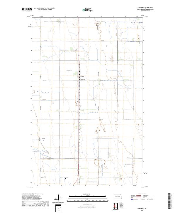
2024 Map of Glasston
USGS Topo · Published 2024About this map
Glasston sits at the heart of this agricultural landscape in Pembina County, situated along the North-South corridor of the 148th Ave NE. The township structure is defined by a rigid grid of section lines, reflecting the legacy of the Public Land Survey System that organized these Red River Valley prairies into productive farmland. Local history is anchored by the Glasston Cem just east of the main settlement and Calvary Cem further south, providing important touchpoints for genealogical research in this rural district.
Find a feature on this map
31 named features on this map. Tap any name to fly to it.
Don’t see what you’re looking for? This feature index may not catch every label — zoom into the map to look around manually.
Map Details
Editions of this 2024 Glasston Map
This is the sole edition of this map. No revisions or reprints were ever made.
Other maps of this area
1939 · Glasston
USGS Topo · 1:62,500
1939 · Cavalier
USGS Topo · 1:62,500
1941 · Glasston
USGS Topo · 1:62,500
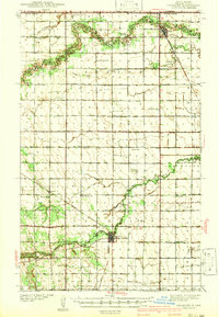
1941 · Cavalier
USGS Topo · 1:62,500
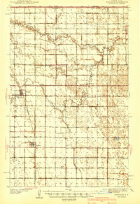
1941 · Bathgate
USGS Topo · 1:62,500
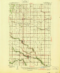
1944 · Crystal
USGS Topo · 1:62,500
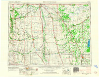
1952 · Thief River Falls
USGS Topo · 1:250,000
1956 · Thief River Falls
USGS Topo · 1:250,000
1957 · Thief River Falls
USGS Topo · 1:250,000
1963 · Crystal SE
USGS Topo · 1:24,000