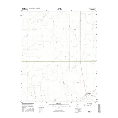
2016 Map of Glazier
USGS Topo · Published 2016About this map
Glazier anchors the southeastern corner of this High Plains landscape, situated along the county line where the panhandle's open ranch land begins to break into the drainage systems of the Canadian River valley. The terrain is characterized by broad expanses like Big Flat, which are dissected by a network of seasonal watercourses including Clear Creek and Plum Cr. In the northern portion of the sheet, Locust Grove marks a historic point of settlement near the headwaters of Little Sand Cr. The map captures the transition across the Lipscomb County and Hemphill County line, showing a sparse but vital transportation network of ranch roads and county routes, such as Ranch Rd 1920 and Co Rd DD, that connect these isolated livestock and agricultural communities.
Find a feature on this map
23 named features on this map. Tap any name to fly to it.
Don’t see what you’re looking for? This feature index may not catch every label — zoom into the map to look around manually.
Map Details
Editions of this 2016 Glazier Map
This is the sole edition of this map. No revisions or reprints were ever made.
Other maps of this area
1954 · Perryton
USGS Topo · 1:250,000
1954 · Amarillo
USGS Topo · 1:250,000
1958 · Perryton
USGS Topo · 1:250,000
1958 · Amarillo
USGS Topo · 1:250,000
1972 · Barton Corners
USGS Topo · 1:24,000
1972 · Canadian West
USGS Topo · 1:24,000
1972 · Canadian East
USGS Topo · 1:24,000
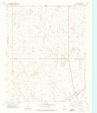
1972 · Glazier
USGS Topo · 1:24,000
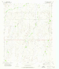
1972 · Willow Creek
USGS Topo · 1:24,000
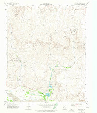
1972 · Lake Marvin
USGS Topo · 1:24,000