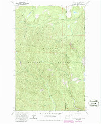
1967 Map of Gleason Mtn
USGS Topo · Published 1986About this map
Kaniksu National Forest straddles the rugged boundary between Washington and Idaho, where the high ridges of Gleason Mtn and Bismarck Mtn divide the drainage basins of the Upper West Branch Priest River and Kalispell Creek. This 1967 survey, updated in the mid-1980s, reveals a landscape defined by its water and resource history. The Last Chance Mine is positioned deep in the southern reaches of the quadrangle near Squaw Valley Creek, suggesting the area's legacy of mineral prospecting.
Find a feature on this map
28 named features on this map. Tap any name to fly to it.
Don’t see what you’re looking for? This feature index may not catch every label — zoom into the map to look around manually.
Map Details
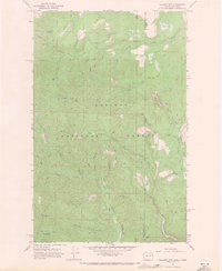
Editions of this 1967 Gleason Mtn Map
2 editions found
Other maps of this area

1901 · Sandpoint
USGS Topo · 1:125,000

1911 · Priest Lake
USGS Topo · 1:250,000

1911 · Sandpoint
USGS Topo · 1:125,000

1913 · Priest Lake
USGS Topo · 1:250,000

1934 · Metaline
USGS Topo · 1:125,000

1936 · Newport
USGS Topo · 1:96,000

1942 · Metaline
USGS Topo · 1:125,000

1942 · Newport
USGS Topo · 1:125,000

1958 · Sandpoint
USGS Topo · 1:250,000

1963 · Sandpoint
USGS Topo · 1:250,000