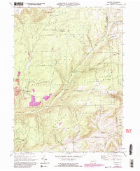
1970 Map of Gleason
USGS Topo · Published 1986About this map
Armenia Mountain and the high plateaus of the Tioga State Forest define this landscape along the Tioga and Bradford County line. The settlement of Gleason and the nearby North Union Church and North Union Cemetery serve as the primary human touchpoints in an otherwise heavily forested and dissected terrain. The map records a complex network of upland drainage, including Sugar Works Run, Fellows Creek, and South Cook Creek, which feed into the larger Tioga River system.
Find a feature on this map
29 named features on this map. Tap any name to fly to it.
Don’t see what you’re looking for? This feature index may not catch every label — zoom into the map to look around manually.
Map Details
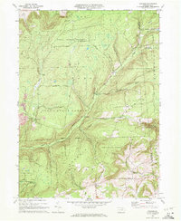
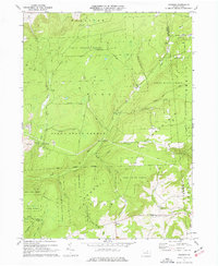
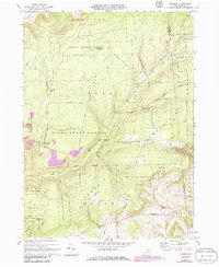
Editions of this 1970 Gleason Map
4 editions found
Other maps of this area

1900 · Tioga
USGS Topo · 1:62,500

1902 · Tioga
USGS Topo · 1:62,500

1925 · Blossburg
USGS Topo · 1:62,500

1927 · Blossburg
USGS Topo · 1:62,500

1931 · Troy
USGS Topo · 1:48,000

1938 · Troy
USGS Topo · 1:62,500

1942 · Canton
USGS Topo · 1:62,500

1944 · Blossburg
USGS Topo · 1:62,500

1944 · Canton
USGS Topo · 1:62,500

1953 · Roseville
USGS Topo · 1:24,000