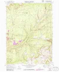
1970 Map of Gleason
USGS Topo · Published 1986About this map
Armenia Mountain and the high plateaus of the Tioga State Forest dominate this landscape during the 1970s, illustrating a region defined by extractive industry and public land management. The presence of several Strip Mine operations near Fall Brook indicates the ongoing legacy of coal mining in Tioga County, while the surrounding timberland is crisscrossed by an extensive network of Old Road segments and Jeep Trails. Local community life is centered around the settlement of Gleason and the North Union Ch, with the North Union Cem providing a valuable record for genealogical research. Waterways like Sugar Works Run and Fellows Creek carve through the terrain, which is further documented by specialized landmarks such as the Radio Tower Chamberlain.
Find a feature on this map
34 named features on this map. Tap any name to fly to it.
Don’t see what you’re looking for? This feature index may not catch every label — zoom into the map to look around manually.
Map Details
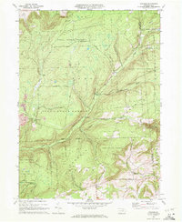
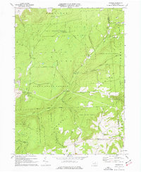
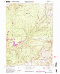
Editions of this 1970 Gleason Map
4 editions found
Other maps of this area

1900 · Tioga
USGS Topo · 1:62,500

1902 · Tioga
USGS Topo · 1:62,500

1925 · Blossburg
USGS Topo · 1:62,500

1927 · Blossburg
USGS Topo · 1:62,500

1931 · Troy
USGS Topo · 1:48,000

1938 · Troy
USGS Topo · 1:62,500

1942 · Canton
USGS Topo · 1:62,500

1944 · Blossburg
USGS Topo · 1:62,500

1944 · Canton
USGS Topo · 1:62,500

1953 · Roseville
USGS Topo · 1:24,000