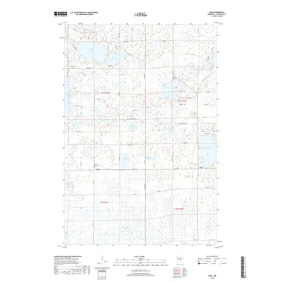
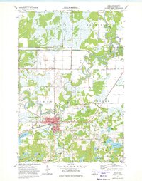
2019 Map of Glen
USGS Topo · Published 2019About this map
Glen and the surrounding Aitkin County countryside are defined by a high density of glacial lakes and wetlands characteristic of the northern Minnesota landscape. Significant water bodies like Rabbit Lake, Elm Island Lake, and Clear Lake are interspersed with smaller named features such as Sweetman Lake and Sjodin Lake. The drainage network includes the Ripple River and Rabbit Cr, which navigate the low-lying terrain between elevated ridges. The area maintains a rural character, anchored by the settlement of Glory and a network of township roads. Local history and genealogy interest is concentrated near several established burial grounds, including the Bethlehem Cem in the northwest and the Rabbit Lake Cem further east. Large protected wetland areas like the Mille Lacs Meadows in the south reflect the region's preservation of its natural hydrology and marsh ecosystems.
Find a feature on this map
77 named features on this map. Tap any name to fly to it.
Don’t see what you’re looking for? This feature index may not catch every label — zoom into the map to look around manually.
Map Details
Editions of this 2019 Glen Map
This is the sole edition of this map. No revisions or reprints were ever made.
Other maps of this area
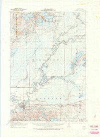
1914 · Aitkin
USGS Topo · 1:62,500
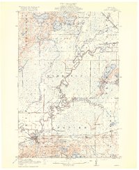
1915 · Aitkin
USGS Topo · 1:62,500
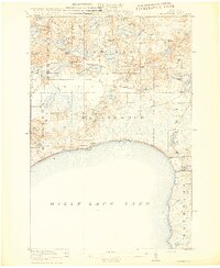
1916 · Wealthwood
USGS Topo · 1:62,500

1953 · Duluth
USGS Topo · 1:250,000

1958 · Duluth
USGS Topo · 1:250,000
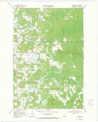
1969 · Thor SW
USGS Topo · 1:24,000
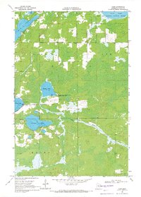
1969 · Thor
USGS Topo · 1:24,000
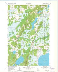
1970 · Kimberly
USGS Topo · 1:24,000
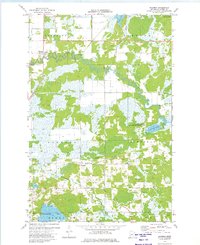
1973 · Hassman
USGS Topo · 1:24,000
1973 · Aitkin
USGS Topo · 1:24,000