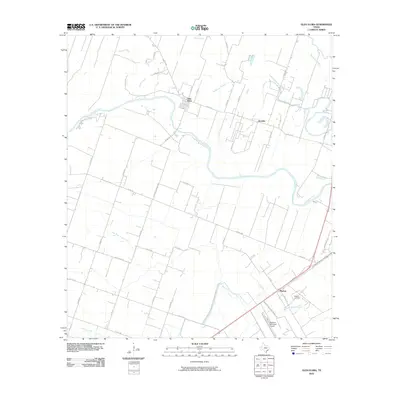
2010 Map of Glen Flora
USGS Topo · Published 2010About this map
The Colorado River carves a winding path through this corner of Wharton County, defining the agricultural and transport patterns near Glen Flora. The landscape is etched with complex drainage systems, including Baughman Slough and several branches of Jones Creek, which historically supported the fertile river bottoms. The settlement pattern is anchored by small communities like Sorrelle and Mackay, the latter situated near the Mackay Cemetery and the local Bosque Creek drainage.
Find a feature on this map
42 named features on this map. Tap any name to fly to it.
Don’t see what you’re looking for? This feature index may not catch every label — zoom into the map to look around manually.
Map Details
Editions of this 2010 Glen Flora Map
This is the sole edition of this map. No revisions or reprints were ever made.
Other maps of this area

1952 · Lane City
USGS Topo · 1:24,000

1952 · Pierce
USGS Topo · 1:24,000

1952 · Egypt
USGS Topo · 1:24,000

1953 · Wharton
USGS Topo · 1:24,000

1953 · Hungerford
USGS Topo · 1:24,000

1953 · Glen Flora
USGS Topo · 1:24,000

1953 · Seguin
USGS Topo · 1:250,000

1958 · Seguin
USGS Topo · 1:250,000

1959 · Bonus
USGS Topo · 1:24,000

1960 · New Taiton
USGS Topo · 1:24,000