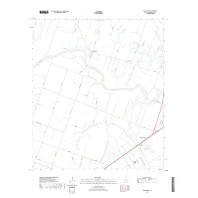
2019 Map of Glen Flora
USGS Topo · Published 2019About this map
The Colorado River defines the landscape of Wharton County, meandering through a region defined by agricultural infrastructure and small rural centers. In this modern survey, the settlement of Glen Flora serves as a central point, surrounded by a grid of farm-to-market roads and county routes that reflect the area's long-standing land divisions. The presence of the Pierce Canal and numerous sloughs, such as Baughman Slough, highlights the intensive water management necessary for the local landscape. Near the southeastern corner, the city of Wharton and the smaller community of Mackay mark the shift toward more concentrated development. Genealogists and local historians will find significant value in the documentation of the Mackay Cemetery and the descriptive Mexican Cemetery Rd, while the Wharton Regional Airport signifies the modern transition of this coastal prairie environment.
Find a feature on this map
50 named features on this map. Tap any name to fly to it.
Don’t see what you’re looking for? This feature index may not catch every label — zoom into the map to look around manually.
Map Details
Editions of this 2019 Glen Flora Map
This is the sole edition of this map. No revisions or reprints were ever made.
Other maps of this area

1952 · Lane City
USGS Topo · 1:24,000

1952 · Pierce
USGS Topo · 1:24,000

1952 · Egypt
USGS Topo · 1:24,000

1953 · Wharton
USGS Topo · 1:24,000

1953 · Hungerford
USGS Topo · 1:24,000

1953 · Glen Flora
USGS Topo · 1:24,000

1953 · Seguin
USGS Topo · 1:250,000

1958 · Seguin
USGS Topo · 1:250,000

1959 · Bonus
USGS Topo · 1:24,000

1960 · New Taiton
USGS Topo · 1:24,000