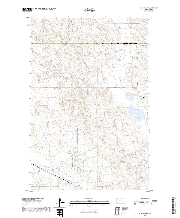
2024 Map of Glen Ullin NW
USGS Topo · Published 2024About this map
Elm Creek meanders through the northern reaches of this rural landscape, crossing the shared boundary between Mercer and Morton counties. The area is defined by a grid of Section Line roads including 69th Ave SW and 32nd St, which serve a territory largely dedicated to agricultural use and open terrain. This survey reflects the enduring section-and-township system that has organized the North Dakota plains since early settlement.
Find a feature on this map
28 named features on this map. Tap any name to fly to it.
Don’t see what you’re looking for? This feature index may not catch every label — zoom into the map to look around manually.
Map Details
Editions of this 2024 Glen Ullin NW Map
This is the sole edition of this map. No revisions or reprints were ever made.
Other maps of this area

1953 · Dickinson
USGS Topo · 1:250,000

1953 · Watford City
USGS Topo · 1:250,000

1954 · Bismarck
USGS Topo · 1:250,000

1954 · McClusky
USGS Topo · 1:250,000

1957 · Dickinson
USGS Topo · 1:250,000

1957 · Watford City
USGS Topo · 1:250,000

1958 · Bismarck
USGS Topo · 1:250,000

1958 · McClusky
USGS Topo · 1:250,000

1960 · Glen Ullin
USGS Topo · 1:24,000

1967 · Watford City
USGS Topo · 1:250,000