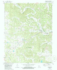
1980 Map of Glenallen
USGS Topo · Published 1986About this map
Glenallen and Bessville serve as central points in this Bollinger County landscape, where the legacy of regional transport is etched into the terrain via an Old Railroad Grade. The map reveals a community defined by its watercourses, notably Crooked Creek and Gimlet Creek, which dictate the placement of early infrastructure. Genealogists will find a wealth of specific local landmarks, from New Trace Creek Church and the Woodland School to family-named sites like Mouser Cemetery and Shelton Cemetery.
Find a feature on this map
35 named features on this map. Tap any name to fly to it.
Don’t see what you’re looking for? This feature index may not catch every label — zoom into the map to look around manually.
Map Details
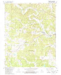
Editions of this 1980 Glenallen Map
2 editions found
Other maps of this area

1933 · Marble Hill
USGS Topo · 1:62,500

1933 · Marquand
USGS Topo · 1:62,500

1934 · Advance
USGS Topo · 1:62,500

1935 · Zalma
USGS Topo · 1:62,500

1937 · Marble Hill
USGS Topo · 1:62,500

1938 · Marquand
USGS Topo · 1:62,500

1939 · Advance
USGS Topo · 1:62,500

1939 · Zalma
USGS Topo · 1:62,500

1949 · Paducah
USGS Topo · 1:250,000

1949 · Rolla
USGS Topo · 1:250,000