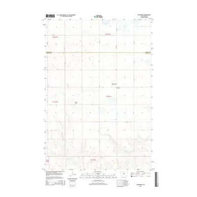
2015 Map of Glencross
USGS Topo · Published 2015About this map
The small unincorporated community of Glencross sits at the heart of this landscape, situated along the border of Corson and Dewey counties. The area is defined by its rural grid system of section lines and gravel roads, such as CR-6 and CR-8, which connect isolated homesteads and ranching tracts. A significant local landmark is the Sacred Heart Cem, located just south of the main settlement area, serving as a primary point of interest for genealogists and family historians researching the Missouri Plateau region.
Find a feature on this map
27 named features on this map. Tap any name to fly to it.
Don’t see what you’re looking for? This feature index may not catch every label — zoom into the map to look around manually.
Map Details
Editions of this 2015 Glencross Map
This is the sole edition of this map. No revisions or reprints were ever made.
Other maps of this area
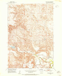
1952 · Whitehorse
USGS Topo · 1:24,000
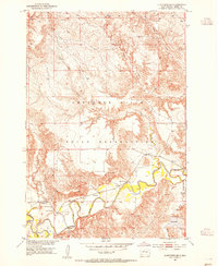
1952 · Glencross SE
USGS Topo · 1:24,000
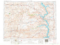
1953 · McIntosh
USGS Topo · 1:250,000
1956 · Little Eagle SW
USGS Topo · 1:24,000
1956 · Little Eagle SE
USGS Topo · 1:24,000
1956 · Miscol SE
USGS Topo · 1:24,000
1958 · McIntosh
USGS Topo · 1:250,000
1975 · Glencross
USGS Topo · 1:24,000
1975 · Glencross NE
USGS Topo · 1:24,000
1978 · Timber Lake
USGS Topo · 1:24,000