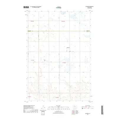
2017 Map of Glencross
USGS Topo · Published 2017About this map
Glencross sits at the junction of several rural county routes, serving as a primary point of settlement on this prairie landscape. The community is anchored by the Sacred Heart Cem, which provides a vital touchstone for local genealogy and parish history. The surrounding terrain is defined by its drainage patterns, notably the winding path of Whitehorse Cr to the south and Dog Butte Cr to the west. A prominent elevation, Dog Butte, rises above the northern plains as a distinct navigational landmark for the region. Numerous small wetlands and seasonal ponds dot the sections across the Corson Co Dewey Co boundary, illustrating the hydrology of north-central South Dakota. This 2017 study captures the modern layout of township and range lines, from t18n r26e down to t16n r25e, preserving the contemporary configuration of ranching access roads and traditional land divisions.
Find a feature on this map
26 named features on this map. Tap any name to fly to it.
Don’t see what you’re looking for? This feature index may not catch every label — zoom into the map to look around manually.
Map Details
Editions of this 2017 Glencross Map
This is the sole edition of this map. No revisions or reprints were ever made.
Other maps of this area
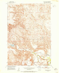
1952 · Whitehorse
USGS Topo · 1:24,000
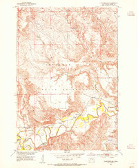
1952 · Glencross SE
USGS Topo · 1:24,000
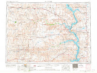
1953 · McIntosh
USGS Topo · 1:250,000
1956 · Little Eagle SW
USGS Topo · 1:24,000
1956 · Little Eagle SE
USGS Topo · 1:24,000
1956 · Miscol SE
USGS Topo · 1:24,000
1958 · McIntosh
USGS Topo · 1:250,000
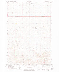
1975 · Glencross
USGS Topo · 1:24,000
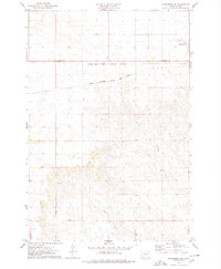
1975 · Glencross NE
USGS Topo · 1:24,000
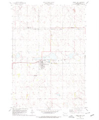
1978 · Timber Lake
USGS Topo · 1:24,000