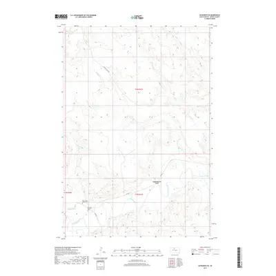
2017 Map of Glencross SE
USGS Topo · Published 2017About this map
Yellowhorse Ford sits along the winding course of the Moreau River, a central geographical feature in this part of Dewey County. The landscape is defined by the intricate drainage systems of several named tributaries, including Marshall Creek, Veo Cr, and Jewett Cr, which carve through the plains. This 2017 survey reflects a largely open, rural environment where the human footprint is concentrated near these watercourses and along the routes of BIA Hwy 4 and Marshall Creek Rd. For genealogists and local historians, the map provides precise locations for the Saint Theresa Catholic Cem and Emmanuel Episcopal Cem, both situated south of the river. These sites, along with the various labeled creeks like Swan Cr and Whitehorse Cr, anchor the map in a specific era of South Dakota's rural history.
Find a feature on this map
17 named features on this map. Tap any name to fly to it.
Don’t see what you’re looking for? This feature index may not catch every label — zoom into the map to look around manually.
Map Details
Editions of this 2017 Glencross SE Map
This is the sole edition of this map. No revisions or reprints were ever made.
Other maps of this area
1951 · Ridgeview NW
USGS Topo · 1:24,000
1951 · Ridgeview NE
USGS Topo · 1:24,000
1951 · La Plant
USGS Topo · 1:24,000
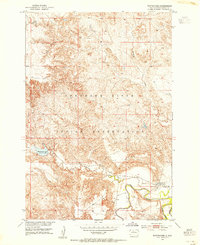
1952 · Whitehorse
USGS Topo · 1:24,000
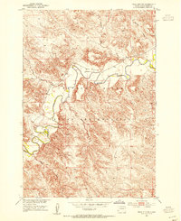
1952 · Trail City SW
USGS Topo · 1:24,000
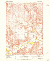
1952 · Glencross SE
USGS Topo · 1:24,000
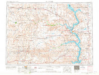
1953 · McIntosh
USGS Topo · 1:250,000
1958 · McIntosh
USGS Topo · 1:250,000
1975 · Glencross
USGS Topo · 1:24,000
1975 · Trail City
USGS Topo · 1:24,000