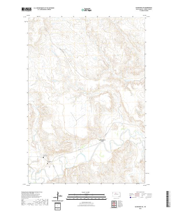
2021 Map of Glencross SE
USGS Topo · Published 2021About this map
Yellowhorse Ford stands at a notable crossing of the Moreau River in this rural Dewey County landscape. The mapping reflects a territory defined by its drainage basins and isolated cultural sites, where the Moreau River and its various tributaries like Whitehorse Cr and Swan Cr dictate the layout of the land. The presence of the Saint Theresa Catholic Cem and Emmanuel Episcopal Cem near the riverbank suggests established community centers or historical parish sites serving the surrounding ranching country.
Find a feature on this map
16 named features on this map. Tap any name to fly to it.
Don’t see what you’re looking for? This feature index may not catch every label — zoom into the map to look around manually.
Map Details
Editions of this 2021 Glencross SE Map
This is the sole edition of this map. No revisions or reprints were ever made.
Other maps of this area

1951 · Ridgeview NW
USGS Topo · 1:24,000

1951 · Ridgeview NE
USGS Topo · 1:24,000

1951 · La Plant
USGS Topo · 1:24,000

1952 · Whitehorse
USGS Topo · 1:24,000

1952 · Trail City SW
USGS Topo · 1:24,000

1952 · Glencross SE
USGS Topo · 1:24,000

1953 · McIntosh
USGS Topo · 1:250,000

1958 · McIntosh
USGS Topo · 1:250,000

1975 · Glencross
USGS Topo · 1:24,000

1975 · Trail City
USGS Topo · 1:24,000