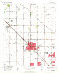
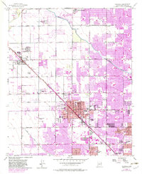
1957 Map of Glendale
USGS Topo · Published 1965About this map
Agricultural roots and rapid mid-century expansion define this survey of Glendale and Peoria. The landscape is dominated by the geometric precision of the Salt River Valley's irrigation system, anchored by the Arizona Canal and the Grand Canal. Between these water sources, the heavy rail line of the Atchison Topeka and Santa Fe cuts diagonally across the grid, supporting local industries like the scattered Cotton Gin sites and the Agua Fria Steam Plant.
Find a feature on this map
41 named features on this map. Tap any name to fly to it.
Don’t see what you’re looking for? This feature index may not catch every label — zoom into the map to look around manually.
Map Details
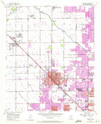
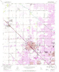
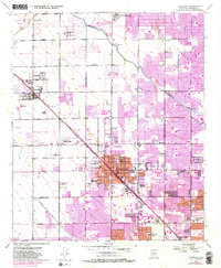
Editions of this 1957 Glendale Map
6 editions found

Other maps of this area

1912 · Phoenix
USGS Topo · 1:62,500

1914 · Phoenix
USGS Topo · 1:62,500

1946 · Avondale
USGS Topo · 1:62,500

1948 · Cashion
USGS Topo · 1:62,500

1952 · Phoenix
USGS Topo · 1:24,000

1952 · Fowler
USGS Topo · 1:24,000

1952 · Phoenix
USGS Topo · 1:62,500

1954 · Phoenix
USGS Topo · 1:250,000

1957 · Phoenix
USGS Topo · 1:250,000

1957 · Calderwood Butte
USGS Topo · 1:24,000