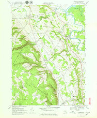
1966 Map of Glenfield
USGS Topo · Published 1979About this map
Martinsburg and the hamlet of Glenfield anchor this landscape where the Black River valley meets the rising eastern edge of the Tug Hill plateau. The mid-1960s terrain is defined by a transition from the agricultural lowlands near East Martinsburg and Turin to the heavily forested State Forest Preserve. A significant geologic and recreational feature, Whetstone Gulf State Park, cuts a deep gorge through the shale layers of the plateau, while the Old Railroad Grade traces a path through the center of the quadrangle, signaling the shifting transportation needs of Lewis County. Local history is preserved in numerous burial sites like Old Martinsburg Cem and Burdicks Crossing Cem, while contemporary landmarks such as the Drive-in Theater and the Radio Towers atop Gomer Hill illustrate the era's infrastructure.
Find a feature on this map
83 named features on this map. Tap any name to fly to it.
Don’t see what you’re looking for? This feature index may not catch every label — zoom into the map to look around manually.
Map Details
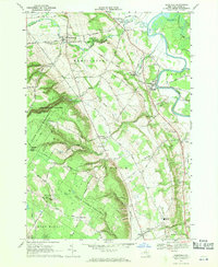
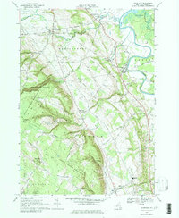
Editions of this 1966 Glenfield Map
3 editions found
Other maps of this area

1902 · Carthage
USGS Topo · 1:62,500

1904 · Carthage
USGS Topo · 1:62,500

1905 · Port Leyden
USGS Topo · 1:62,500

1906 · Highmarket
USGS Topo · 1:62,500

1907 · Port Leyden
USGS Topo · 1:62,500

1911 · Lowville
USGS Topo · 1:62,500

1913 · Lowville
USGS Topo · 1:62,500

1940 · Port Leyden
USGS Topo · 1:62,500

1943 · West Lowville
USGS Topo · 1:31,680

1943 · High Market
USGS Topo · 1:24,000