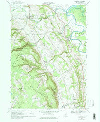
1966 Map of Glenfield
USGS Topo · Published 1979About this map
Tug Hill State Forest Preserve dominates the western topography of this mid-1960s survey, where the dramatic descent of Whetstone Gulf State Park meets the flatlands of the Black River valley. This era reveals a landscape transitioning from traditional upland farming to one shaped by modern infrastructure and recreation, visible in the presence of a Drive-in Theater and multiple quarries and gravel pits. The eastern edge is defined by the winding river and the Old Railroad Grade, which once connected the valley settlements.
Find a feature on this map
55 named features on this map. Tap any name to fly to it.
Don’t see what you’re looking for? This feature index may not catch every label — zoom into the map to look around manually.
Map Details
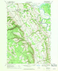
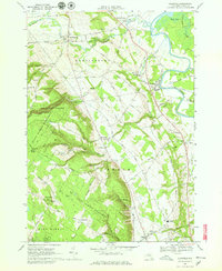
Editions of this 1966 Glenfield Map
3 editions found
Other maps of this area

1902 · Carthage
USGS Topo · 1:62,500

1904 · Carthage
USGS Topo · 1:62,500

1905 · Port Leyden
USGS Topo · 1:62,500

1906 · Highmarket
USGS Topo · 1:62,500

1907 · Port Leyden
USGS Topo · 1:62,500

1911 · Lowville
USGS Topo · 1:62,500

1913 · Lowville
USGS Topo · 1:62,500

1940 · Port Leyden
USGS Topo · 1:62,500

1943 · West Lowville
USGS Topo · 1:31,680

1943 · High Market
USGS Topo · 1:24,000