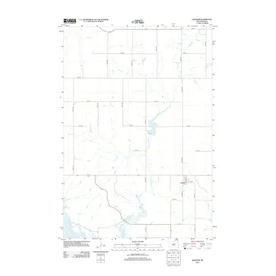
2012 Map of Glenham
USGS Topo · Published 2012About this map
The small town of Glenham serves as the focal point for this Walworth County landscape, situated just east of the expansive waters of Lake Oahe. The map details a well-ordered grid of agricultural roads, including 122nd St and 297th Ave, which partition the prairie terrain. Central to the local geography is Blue Blanket Cr, which feeds into Molstad Lake before winding south toward the river valley. Within the village of Glenham, the street layout is clearly defined by Main St, Harrison St, and 1st Ave. This 2012 survey illustrates the modern configuration of these rural transport corridors and the hydrology of Cane Cr in the northern portion of the quadrangle, reflecting the area's continued reliance on the management of its water resources and township road systems.
Find a feature on this map
26 named features on this map. Tap any name to fly to it.
Don’t see what you’re looking for? This feature index may not catch every label — zoom into the map to look around manually.
Map Details
Editions of this 2012 Glenham Map
This is the sole edition of this map. No revisions or reprints were ever made.
Other maps of this area

1953 · McIntosh
USGS Topo · 1:250,000

1958 · McIntosh
USGS Topo · 1:250,000

1967 · Glenham
USGS Topo · 1:24,000

1967 · Selby SW
USGS Topo · 1:24,000

1967 · Mobridge NE
USGS Topo · 1:24,000

1967 · Mobridge NW
USGS Topo · 1:24,000

1967 · Mobridge
USGS Topo · 1:24,000

1967 · Selby NW
USGS Topo · 1:24,000

1968 · Moreau NW
USGS Topo · 1:24,000

1968 · Moreau NE
USGS Topo · 1:24,000