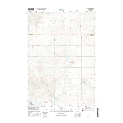
2015 Map of Glenham
USGS Topo · Published 2015About this map
Glenham serves as the primary hub of activity in this prairie landscape, situated near the Walworth and Campbell County line. The settlement's layout is centered around Main St, Harrison St, and Lowry St, with a local Po serving the community. The topography is defined by the drainage systems of Blue Blanket Cr and Cane Cr, which carve through the plains toward the Missouri River in the southwest corner. Significant local landmarks include Molstad Lake, which provides a distinct break in the section-line road grid that dominates the region. The transition from t125n r78w to t124n r78w reveals a meticulous network of rural routes like Blue Blanket Rd and the uniquely named Chocolate Horse Pl, reflecting the enduring agricultural character of the South Dakota heartland during this era.
Find a feature on this map
42 named features on this map. Tap any name to fly to it.
Don’t see what you’re looking for? This feature index may not catch every label — zoom into the map to look around manually.
Map Details
Editions of this 2015 Glenham Map
This is the sole edition of this map. No revisions or reprints were ever made.
Other maps of this area

1953 · McIntosh
USGS Topo · 1:250,000

1958 · McIntosh
USGS Topo · 1:250,000

1967 · Glenham
USGS Topo · 1:24,000

1967 · Selby SW
USGS Topo · 1:24,000

1967 · Mobridge NE
USGS Topo · 1:24,000

1967 · Mobridge NW
USGS Topo · 1:24,000

1967 · Mobridge
USGS Topo · 1:24,000

1967 · Selby NW
USGS Topo · 1:24,000

1968 · Moreau NW
USGS Topo · 1:24,000

1968 · Moreau NE
USGS Topo · 1:24,000