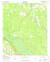
1958 Map of Glennville SW
USGS Topo · Published 1976About this map
The Altamaha River winds through the southern portion of this region, creating a complex network of wetlands and riverine features including Strickland Bight, Marrowbone Round, and Yankee Reach. This 1958 survey, updated in the 1970s, illustrates the rural landscape along the borders of Long, Tattnall, and Wayne counties. Small community hubs are anchored by local landmarks such as Ebenezer Ch and Pigott Branch Ch, while the Padgett Cem serves as a vital point for genealogical research in this sparsely settled area.
Find a feature on this map
23 named features on this map. Tap any name to fly to it.
Don’t see what you’re looking for? This feature index may not catch every label — zoom into the map to look around manually.
Map Details
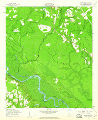
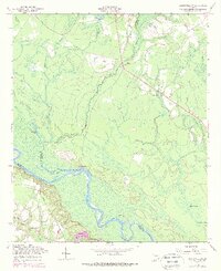
Editions of this 1958 Glennville SW Map
3 editions found
Other maps of this area

1918 · Jesup
USGS Topo · 1:62,500

1920 · Glennville
USGS Topo · 1:62,500

1943 · Jesup
USGS Topo · 1:62,500

1944 · Glennville
USGS Topo · 1:62,500

1946 · Brunswick
USGS Topo · 1:250,000

1948 · Brunswick
USGS Topo · 1:250,000

1950 · Glennville
USGS Topo · 1:62,500

1953 · Waycross
USGS Topo · 1:250,000

1956 · Brunswick
USGS Topo · 1:250,000

1958 · Waycross
USGS Topo · 1:250,000