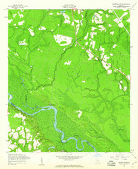
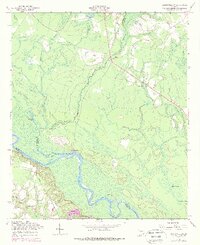
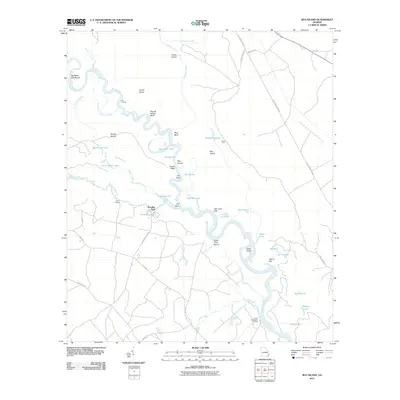
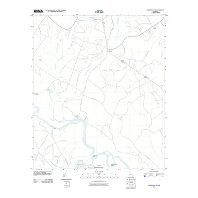
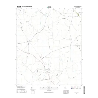
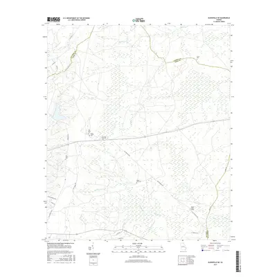
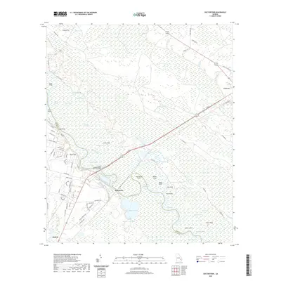
1958 Map of Glennville SW
USGS Topo · Published 1961About this map
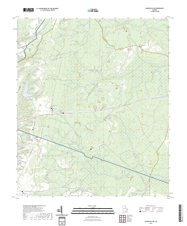
The Altamaha River carves a winding path through the southern portion of this region, defining the complex boundary between Tattnall, Long, and Wayne counties. In the late 1950s, the landscape is characterized by dense wetlands and lowlands such as Black Swamp and Vinzant Swamp, punctuated by higher ground like Beards Bluff. These natural features dictated the placement of small communities and social centers, including Ebenezer Ch and Pigott Branch Ch along the northern road corridors.
Find a feature on this map
21 named features on this map. Tap any name to fly to it.
Don’t see what you’re looking for? This feature index may not catch every label — zoom into the map to look around manually.
Map Details
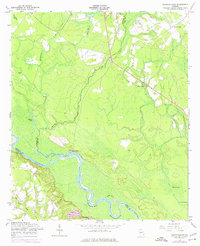
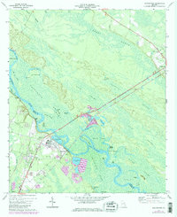
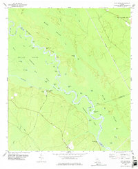
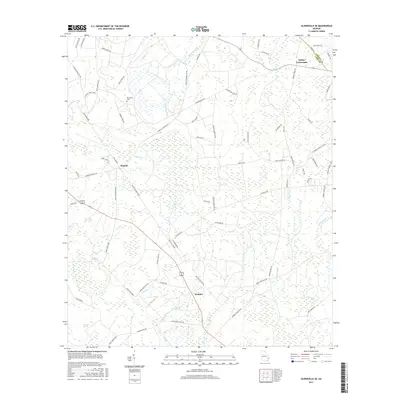
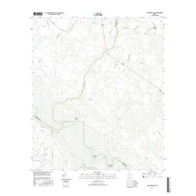
Editions of this 1958 Glennville SW Map
3 editions found
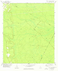
Historical Maps of Noble Through Time
36 maps found
1958 Glennville NE
Long County, GA
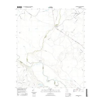
1958 Glennville SE
Long County, GA
1958 Glennville SW
Long County, GA
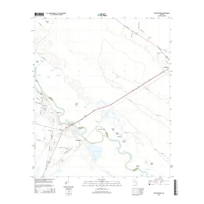
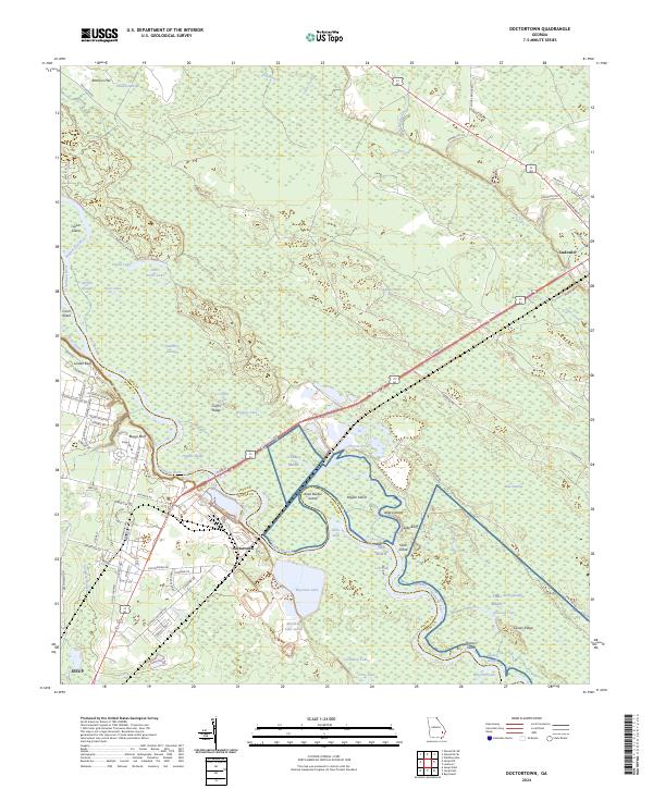
1970 Doctortown
Long County, GA
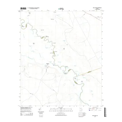
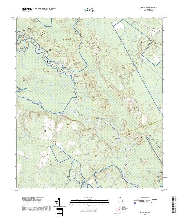
1978 Bug Island
Long County, GA
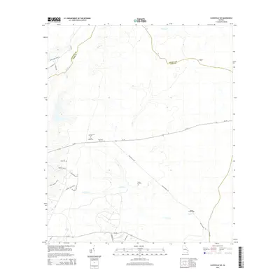
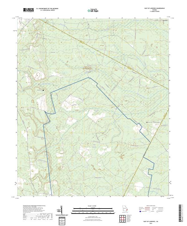
1978 East Of Ludowici
Long County, GA
2011 Bug Island
Long County, GA
2011 Doctortown
Long County, GA

2011 East of Ludowici
Long County, GA
2011 Glennville NE
Long County, GA
2011 Glennville SE
Long County, GA
2011 Glennville SW
Long County, GA
2014 Bug Island
Long County, GA
2014 Doctortown
Long County, GA

2014 East of Ludowici
Long County, GA
2014 Glennville NE
Long County, GA
2014 Glennville SE
Long County, GA
2014 Glennville SW
Long County, GA
2017 Bug Island
Long County, GA
2017 Doctortown
Long County, GA

2017 East of Ludowici
Long County, GA
2017 Glennville NE
Long County, GA
2017 Glennville SE
Long County, GA
2017 Glennville SW
Long County, GA
2020 Bug Island
Long County, GA
2020 Doctortown
Long County, GA

2020 East of Ludowici
Long County, GA
2020 Glennville NE
Long County, GA
2020 Glennville SE
Long County, GA
2020 Glennville SW
Long County, GA
2024 Bug Island
Long County, GA
2024 Doctortown
Long County, GA
2024 East of Ludowici
Long County, GA
2024 Glennville NE
Long County, GA
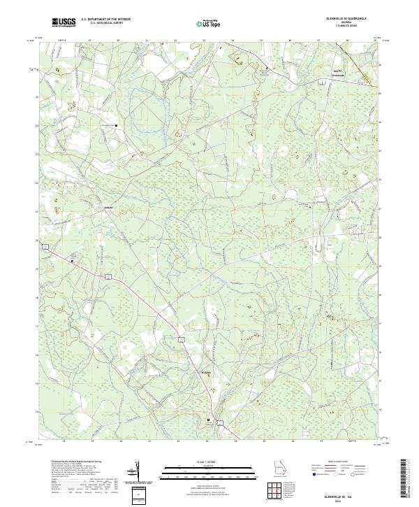
2024 Glennville SE
Long County, GA
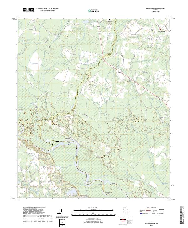
2024 Glennville SW
Long County, GA