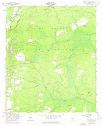
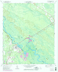
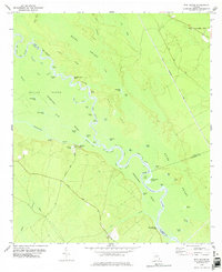
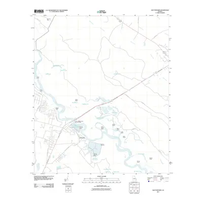
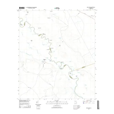
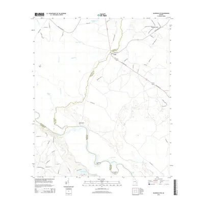
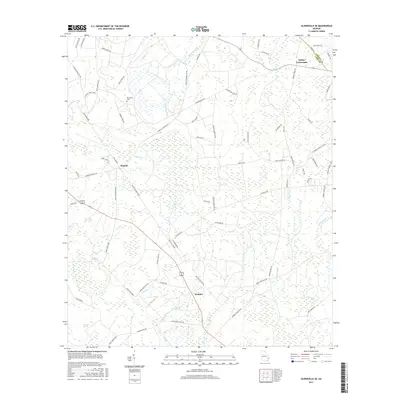
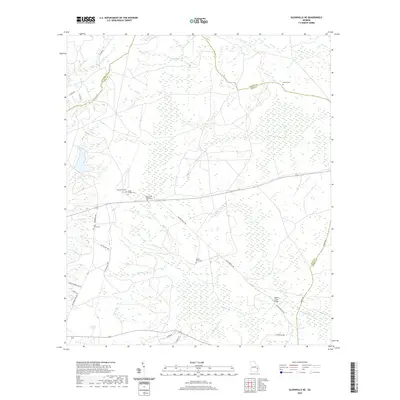
1958 Map of Glennville NE
USGS Topo · Published 1976About this map
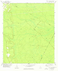
Fort Stewart Military Reservation dominates this landscape in Long and Liberty Counties, where the transition from civilian to military land use is clearly visible in the mid-20th century. Numerous small country churches and family cemeteries remain as markers of the area's earlier settlement patterns, including Beards Creek Ch and New Bethel Cem. The terrain is defined by the winding paths of Taylors Creek and Beards Creek, which flow through a network of wetlands and wooded areas. Evidence of former transit and infrastructure is found in several stretches of an Old Railroad Grade and the Taylors Creek Bridge. This 1958 survey, with revisions from 1973, also documents specialized aviation facilities like the Landing Field and multiple Landing Strips situated within the reservation boundaries.
Find a feature on this map
24 named features on this map. Tap any name to fly to it.
Don’t see what you’re looking for? This feature index may not catch every label — zoom into the map to look around manually.
Map Details
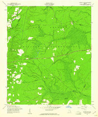
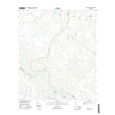
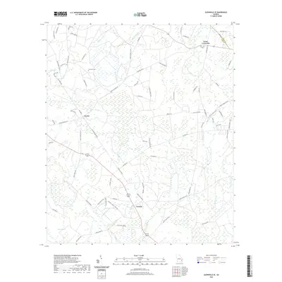
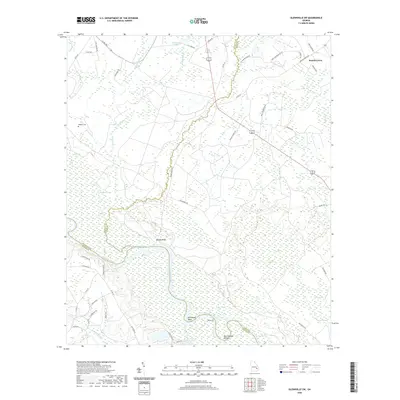
Editions of this 1958 Glennville NE Map
2 editions found
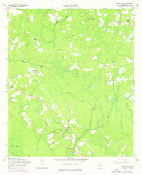
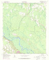
Historical Maps of Liberty County Through Time
36 maps found
1958 Glennville NE
Long County, GA
1958 Glennville SE
Long County, GA
1958 Glennville SW
Long County, GA
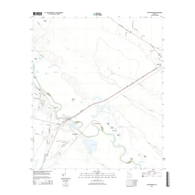
1970 Doctortown
Long County, GA
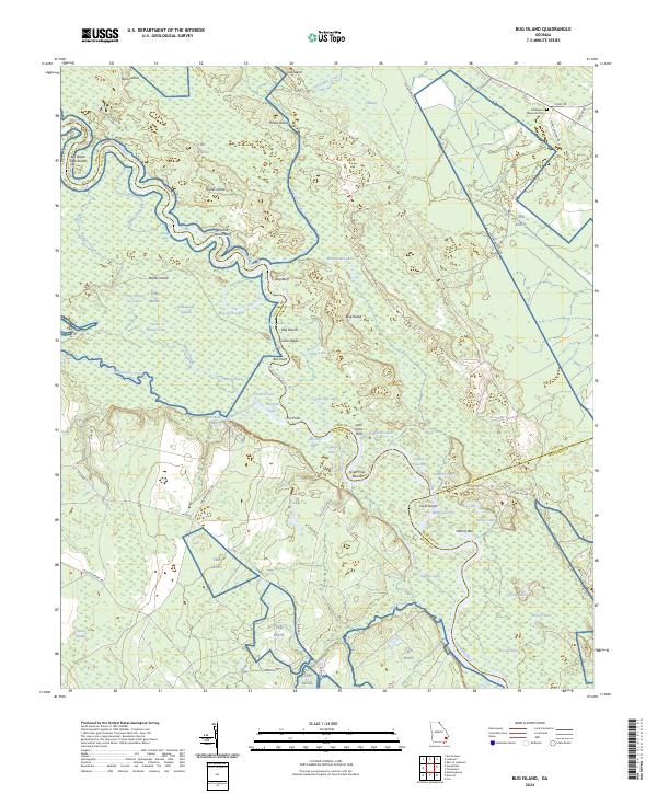
1978 Bug Island
Long County, GA
1978 East Of Ludowici
Long County, GA
2011 Bug Island
Long County, GA
2011 Doctortown
Long County, GA

2011 East of Ludowici
Long County, GA
2011 Glennville NE
Long County, GA
2011 Glennville SE
Long County, GA
2011 Glennville SW
Long County, GA
2014 Bug Island
Long County, GA
2014 Doctortown
Long County, GA

2014 East of Ludowici
Long County, GA
2014 Glennville NE
Long County, GA
2014 Glennville SE
Long County, GA
2014 Glennville SW
Long County, GA
2017 Bug Island
Long County, GA
2017 Doctortown
Long County, GA

2017 East of Ludowici
Long County, GA
2017 Glennville NE
Long County, GA
2017 Glennville SE
Long County, GA
2017 Glennville SW
Long County, GA
2020 Bug Island
Long County, GA
2020 Doctortown
Long County, GA

2020 East of Ludowici
Long County, GA
2020 Glennville NE
Long County, GA
2020 Glennville SE
Long County, GA
2020 Glennville SW
Long County, GA
2024 Bug Island
Long County, GA
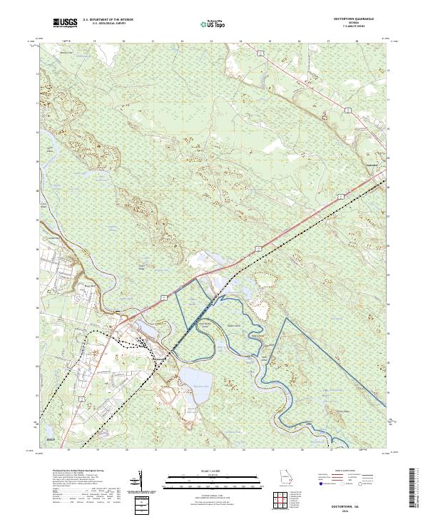
2024 Doctortown
Long County, GA
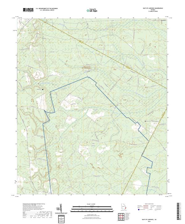
2024 East of Ludowici
Long County, GA
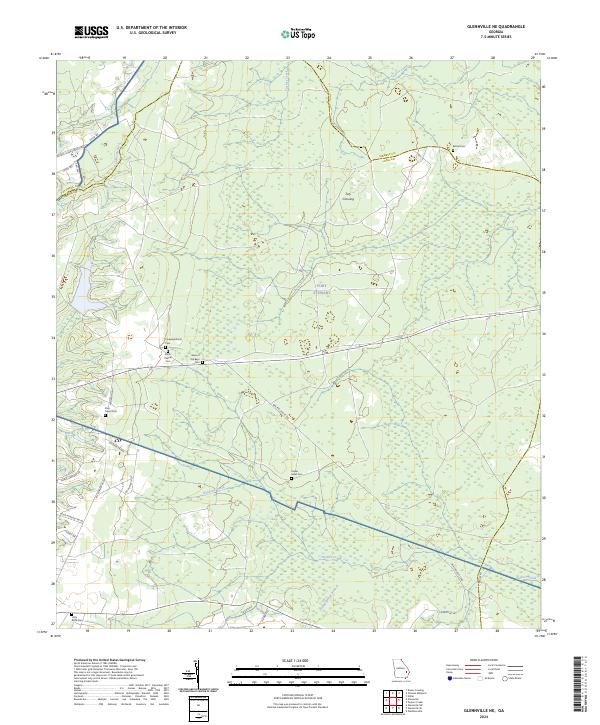
2024 Glennville NE
Long County, GA
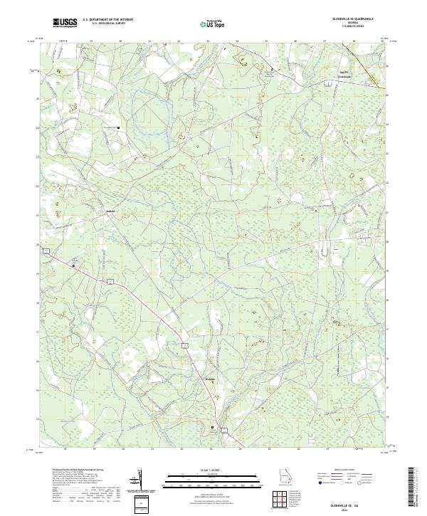
2024 Glennville SE
Long County, GA
2024 Glennville SW
Long County, GA