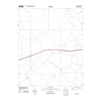
2010 Map of Glenrio
USGS Topo · Published 2010About this map
Glenrio straddles the high plains of the Texas-New Mexico border, serving as a critical waypoint along the historic transport corridor of the Southwest. This 2010 survey highlights the community's layout near the Glenrio Post Office and along State Loop 504, illustrating the sparse but deliberate settlement patterns of the Llano Estacado. To the southwest lies Endee, a locale marked by the Endee Cemetery, which offers significant research value for those tracing local family histories. The landscape is defined by the ephemeral drainages of Trujillo Creek, Martha Creek, and Sand Point Draw, which carve subtle paths through the terrain. The map's grid of rural routes, including Quay Road 66 and Quay Road A, reflects the enduring ranching and agricultural framework of the region at the start of the 21st century.
Find a feature on this map
17 named features on this map. Tap any name to fly to it.
Don’t see what you’re looking for? This feature index may not catch every label — zoom into the map to look around manually.
Map Details
Editions of this 2010 Glenrio Map
This is the sole edition of this map. No revisions or reprints were ever made.
Other maps of this area

1954 · Tucumcari
USGS Topo · 1:250,000

1958 · Tucumcari
USGS Topo · 1:250,000

1966 · Moser Ranch
USGS Topo · 1:24,000

1966 · Signal Spring
USGS Topo · 1:24,000

1966 · Sand Point
USGS Topo · 1:24,000

1968 · Rock Camp
USGS Topo · 1:24,000

1968 · Blue Hole
USGS Topo · 1:24,000

1968 · Riley Camp
USGS Topo · 1:24,000

1968 · Bard
USGS Topo · 1:24,000

1968 · Glenrio
USGS Topo · 1:24,000