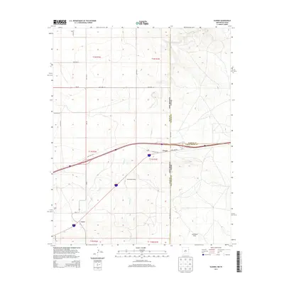
2013 Map of Glenrio
USGS Topo · Published 2013About this map
Glenrio sits directly on the boundary of New Mexico and Texas, a location historically significant for its position along early interstate travel routes. This high plains landscape is defined by the convergence of multiple county lines, where Quay, Oldham, and Deaf Smith counties meet. To the southwest, the small settlement of Endee is visible near the Endee Cemetery, positioned along the reach of Trujillo Creek. The map documents a transition from traditional ranching lands to modern infrastructure, with Sand Point Draw and Martha Creek cutting through the terrain. The network of local roads, such as State Loop 504 and NM-93, traces the early 21st-century connectivity of this border region, illustrating how administrative boundaries and natural drainage patterns shaped the placement of these high-desert outposts.
Find a feature on this map
29 named features on this map. Tap any name to fly to it.
Don’t see what you’re looking for? This feature index may not catch every label — zoom into the map to look around manually.
Map Details
Editions of this 2013 Glenrio Map
This is the sole edition of this map. No revisions or reprints were ever made.
Other maps of this area
1954 · Tucumcari
USGS Topo · 1:250,000
1958 · Tucumcari
USGS Topo · 1:250,000
1966 · Moser Ranch
USGS Topo · 1:24,000
1966 · Signal Spring
USGS Topo · 1:24,000
1966 · Sand Point
USGS Topo · 1:24,000
1968 · Rock Camp
USGS Topo · 1:24,000
1968 · Blue Hole
USGS Topo · 1:24,000
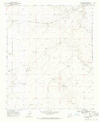
1968 · Riley Camp
USGS Topo · 1:24,000
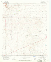
1968 · Bard
USGS Topo · 1:24,000
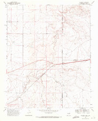
1968 · Glenrio
USGS Topo · 1:24,000